
What is recorded here
Lissaniska is a ruined ringfort in County Galway, Ireland. A road now cuts through the ancient earthworks, leaving the northern bank intact while the southern edge has been levelled into ordinary grassland. The site retains its subcircular shape and faint outer ditch, marking a place where human hands once shaped the landscape before modern traffic erased half its boundary.
In level grassland. Poorly preserved subcircular rath (43m E-W; 41m N-S) defined by a bank and external fosse; the latter survives from W to NW. A road cuts through the monument from SE to W and the enclosing elements are best preserved to N of it. To S, the bank has been levelled and the line of the fosse is indicated by a dark band of vegetation. This record is cross-referenced to GA108-106----.
Compiled by: Galway Archaeological Survey, UCG
Updated by: Olive Alcock
Date of revised upload: 9 June 2020
The monument record does not grant public access. Check the route and ask the landowner before entering private land.
- What survives
- Recorded monument
Places near here
 Lissatogher FortsFairy fort / earthen ringfort · 431 yd
 Lisnatrap FortFairy fort / earthen ringfort · 614 yd
 Skycur Househouse · 701 yd
 BallydonaghHouse, 18th/19th century · 1021 yd
 European YewEuropean Yew · 2.1 mi
 Silver FirSilver Fir · 2.2 mi
 MoatCastle, motte and bailey · 2.7 mi
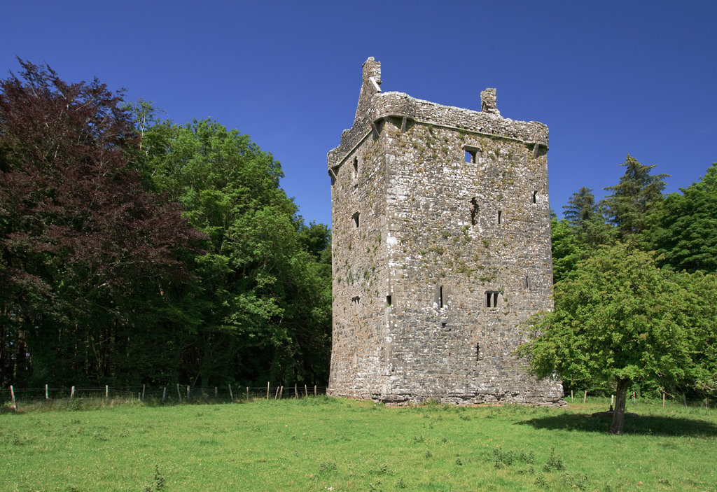
 Oghil Castle (in ruins)Castle, tower house · 2.9 mi
 Redmond HillMountain / peak · 3.6 mi
 The bloody HollowHeritage attraction · 6.0 mi
 Urraghry HillMountain / peak · 6.1 mi
 Ballymacegan IslandIsland · 6.1 mi
Other information
Photo: Credit not shown in the picture search · Rights wording not checked; contact us if this picture should be removed