What is recorded here
Lissaphuca is an oval fairy fort on a Kerry ridge, its outer bank widened to seven metres and thick enough to swallow a cart. The western arc has been quarried away, opening the fort to the sky like a broken jaw. A dark passage lies hidden beneath the northern grass, waiting for someone brave or foolish enough to enter.
In pasture, on the top of a ridge on the edge of a steep SSE-facing slope overlooking the Gweeslin River. An oval area (52m E-W; 35m N-S) defined by two earthen banks W-NE with an intervening fosse and by terracing elsewhere. The inner bank (ext. H 1.5m) has a slight internal lip and is most substantial along the W arc where there is a gradual slope down to the interior. The intervening fosse (Wth 1.6m) is wide and flat-bottomed. The outer bank (Wth 7.15m; int. H 1.8m; ext. H 2.25m) is substantial and overgrown with trees. The intervening fosse and outer bank have been removed along the W arc by quarrying. The interior NE-W is defined by an inner scarp (H 2.6m) separated NE-SW from the outer scarp (H 3.9m) by a terrace (Wth 3.6m). The outer scarp has a slight internal lip (H 0.3m) and at its base externally is a second terrace (Wth 5m) cut into the natural steep fall of ground which continues down to the floodplain of the river. There is a possible entrance at NE. Bushes and trees grow in the rath. There is a depression in the NW quadrant, immediately W of the entrance to a Man-made underground passage (KE057-049001-), which is centrally located.
Compiled by: Elizabeth Byrne, Ursula Egan and Sheila Ronan, Archaeological Survey Unit, University College, Cork.
Date of upload: 31 January 2011
Lissaphuca, Lissavane East is an early-medieval ringfort, likely dating to between the 5th and 10th centuries, characterized by an oval enclosure with double banks, a fosse, and terracing. Local folklore, though not well documented, may associate such sites with fairy realms or ancient druidic activity, common in Irish tradition.
The monument record does not grant public access. Check the route and ask the landowner before entering private land.
- What survives
- Recorded monument
Places near here
 Milleen FortFairy fort / earthen ringfort · 1537 yd
 The Kerry Creamery ExperienceHeritage attraction · 1698 yd
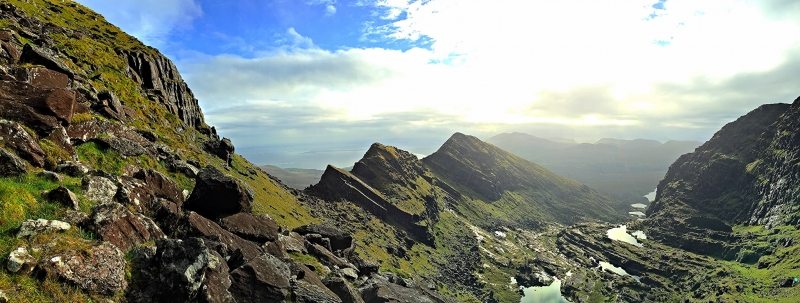 LisnacruttaFairy fort / earthen ringfort · 1733 yd
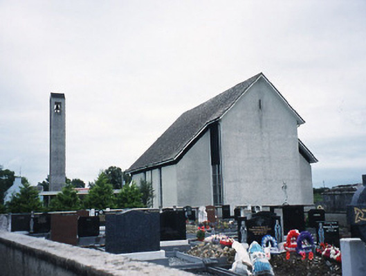 Catholic Church of the Immaculate Conceptionchurch/chapel · 1.0 mi
 Culleeny Br.Bridge · 1.9 mi
 Pallis Castle (Site of)Castle, tower house · 3.0 mi
 Ballymalis CastleCastle · 3.2 mi
 Japanese pagoda treeJapanese pagoda tree · 4.2 mi
 European YewEuropean Yew · 4.2 mi
 Dunloe Ogham StonesHeritage attraction · 4.3 mi
 Clash IslandIslet · 5.0 mi
 Rabbit or Brown IslandIslet · 6.0 mi