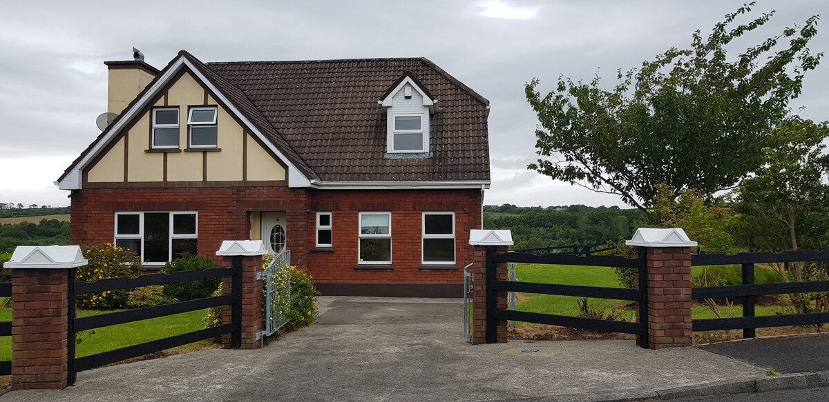
What is recorded here
Internal diam. 32m E-W
Lissaphhuca/ Lios an Phúca: Located in pastureland which slopes down gently N to the Laune river, this bivallate rath affords broad views in all directions. Its N half has been much disturbed, and the site is planted with pine trees. The outer bank is preserved up to 2.6m high externally and has an average basal width of 4m; its inner face is degraded at NW. It falls about 1.6m to the base of a flat-bottomed, 4m wide fosse, above which the crest of the inner bank rises 3m. The latter is almost flush with the level of the featureless interior.
The above description is derived from A. O'Sullivan and J. Sheehan (compilers), 'The Iveragh peninsula: an archaeological survey of South Kerry'. Cork University Press (1996), no. 469. In certain instances the entries have been revised and updated in the light of recent research.
Date of upload: 28 July 2013
Lissaphuca is a bivallate ringfort, likely dating to the early medieval period, situated in a strategic location overlooking the Laune River. The name "Lios an Phúca," meaning "the fairy enclosure," suggests a long-standing association with local folklore involving fairies or supernatural beings.
The monument record does not grant public access. Check the route and ask the landowner before entering private land.
- What survives
- Recorded monument
Places near here
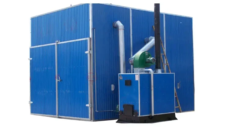 KilnKiln, corn-drying · 202 yd
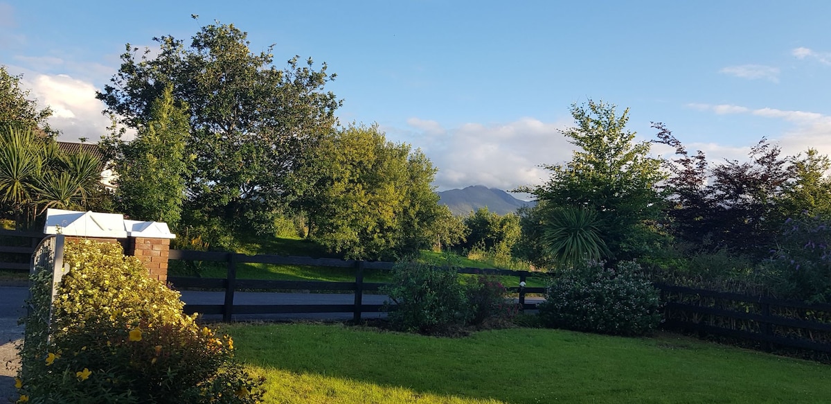 Man-made underground passage in BeaufortMan-made underground passage · 356 yd
 IndicatedFairy fort / earthen ringfort · 739 yd
 CastleCastle, tower house · 847 yd
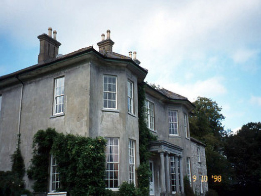 Beaufort Housecountry house · 870 yd
 Dunloe Ogham StonesHeritage attraction · 1432 yd
 Castle (in Ruins)Castle, tower house · 1499 yd
 Japanese pagoda treeJapanese pagoda tree · 1551 yd
 European YewEuropean Yew · 1574 yd
 Tomies Mountain North TopMountain / peak · 3.1 mi
 The Kerry Creamery ExperienceHeritage attraction · 3.2 mi
 Rabbit or Brown IslandIslet · 3.4 mi
Other information
Photo: Credit not shown in the picture search · Rights wording not checked; contact us if this picture should be removed