What is recorded here
In rough pasture, on W-facing slope, above steep-sided valley of Tuough River. Roughly D-shaped area (13.4m E-W; 13.3m N-S) enclosed by earthen bank (int. H 0.3m; ext. H 1.7m), on S side of E-W field boundary which forms straight side of enclosure. Field fence removed beyond enclosure. Stone facing noted on N side. Field clearance stones scattered across interior. Interior and bank heavily overgrown with ferns. Interior raised on W side to compensate for hillslope.
The above description is derived from the published 'Archaeological Inventory of County Cork. Volume 3: Mid Cork' (Dublin: Stationery Office, 1997). In certain instances the entries have been revised and updated in the light of recent research.
Date of upload/revision: 14 January 2009
The monument record does not grant public access. Check the route and ask the landowner before entering private land.
- What survives
- Recorded monument
Places near here
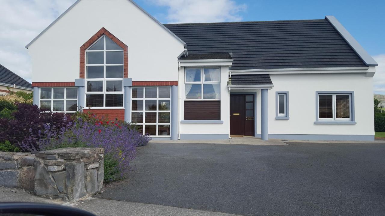 Moneen HouseArchaeological place · 462 yd
 Fulacht FianFulacht fia · 1085 yd
 Woodvillehouse · 1.1 mi
 Garranes Housecountry house · 1.2 mi
 Graveyard in KilnagnadyGraveyard · 1.5 mi
 Castle Nalacht, site ofCastle, unclassified · 1.7 mi
 Kilcrea Castle (in Ruins)Castle, tower house · 3.1 mi
 Kilcrea CastleWood · 3.1 mi
 Sunday WellSpring · 3.2 mi
 Mount Pleasant WoodWood · 3.2 mi
 Charlie Hurley MemorialMemorial · 3.8 mi
 Innishannon WoodsPicnic place · 4.9 mi