What is recorded here
In low-lying wooded area. Monument, depicted as embanked circular enclosure (diam. c. 30m) on 1841 OS 6-inch map, is now located in wooded area covered by dense undergrowth which has been surface quarried in places. On E side of a trackway an earthen bank (int. H 0.45m; ext. H 0.9m) can be traced following a circular path NW->SW; trackway probably truncates enclosure on N side.
Compiled by: Denis Power
Date of upload: 26 August 2011
The monument record does not grant public access. Check the route and ask the landowner before entering private land.
- What survives
- Recorded monument
Places near here
 Fulacht fia in Tomdeely NorthFulacht fia · 647 yd
 CairnCairn, burial cairn · 763 yd
 Tomdeely CastleCastle · 866 yd
 Holly IslandIslet · 1284 yd
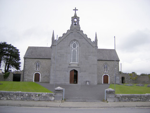 Saint Mary's Catholic Churchchurch/chapel · 1594 yd
 Abbey (in ruinsReligious house, Franciscan friars · 1.1 mi
 Askeaton CastleHeritage attraction · 1.2 mi
 Ballynash CastleCastle, unclassified · 1.4 mi
 Greenish IslandIslet · 1.7 mi
 Courtbrown PointHeadland · 2.1 mi
 Herring RockNamed rock · 2.7 mi
 Foynes Flying Boat & Maritime MuseumMuseum · 4.6 mi