What is recorded here
In pasture, on level ground, c. 100m to the N of the River Laune. This rath is not visible at ground level. According to local information, it was levelled in the 1970s. It is indicated as a circular enclosure (diam. c. 40m) on the 1846 OS 6-inch map and as a roughly circular enclosure on the 1894 OS 6-inch map, where it is depicted similarly to the surrounding field boundaries.
Compiled by: Elizabeth Byrne, Ursula Egan and Sheila Ronan, Archaeological Survey Unit, University College, Cork.
Date of upload: 31 January 2011
The monument record does not grant public access. Check the route and ask the landowner before entering private land.
- What survives
- Recorded monument
Places near here
 Enclosure in ChurchtownEnclosure · 901 yd
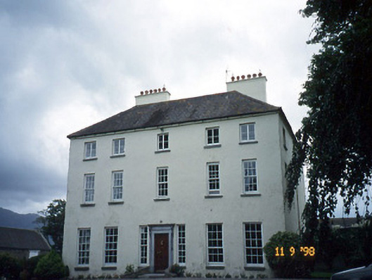 Churchtown Housecountry house · 1133 yd
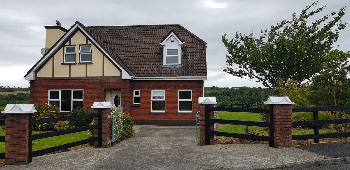 LissaphucaFairy fort / earthen ringfort · 1193 yd
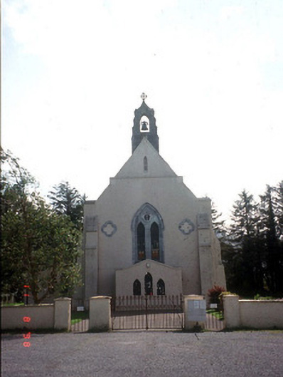 Saint Mary's Catholic Churchchurch/chapel · 1564 yd
 Castle Core (in Ruins)Castle, tower house · 1622 yd
 CastleCastle, tower house · 1.2 mi
 Dunloe Ogham StonesHeritage attraction · 1.3 mi
 Japanese pagoda treeJapanese pagoda tree · 1.5 mi
 European YewEuropean Yew · 1.5 mi
 The Kerry Creamery ExperienceHeritage attraction · 2.9 mi
 Tomies Mountain North TopMountain / peak · 3.5 mi
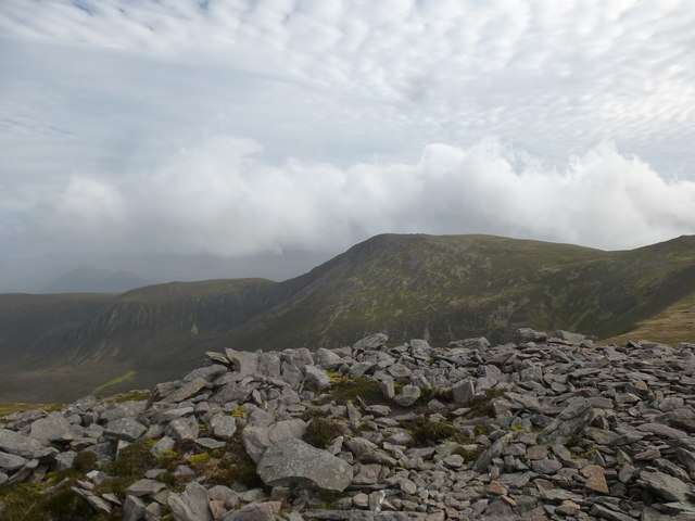 Tomies MountainMountain / peak · 4.0 mi