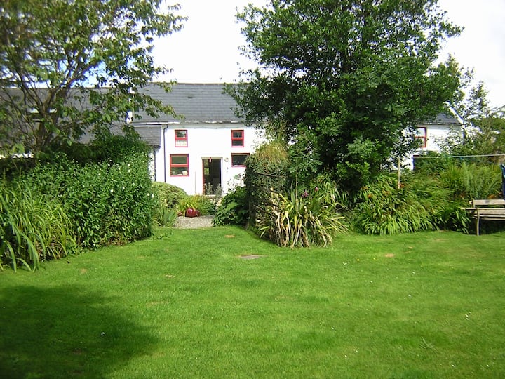
What is recorded here
Lissabogy is a fairy fort in County Cork, Ireland. It occupies undulating pasture as a roughly circular, slightly raised area measuring 46.3 metres north-south and 33.5 metres east-west. An earthen bank rises 1.8 metres from SSE to NNE, with an external fosse 0.5 metre deep to the SW. A two-metre break appears in the bank to the north, while a north-south laneway truncates the eastern edge. The shape suggests a lived boundary, perhaps marked by ritual, labour or warning. Its preserved form testifies that people shaped this land deliberately, even if its exact purpose has faded.
In undulating pasture. Roughly circular, slightly raised area (46.3m N-S; 33.5m E-W) enclosed by earthen bank (H 1.8m) SSE->NNE, with external fosse (D 0.5m) to SW. Break in bank (Wth 2m) to N. Laneway running N-S truncates E edge of site.
The above description is derived from the published 'Archaeological Inventory of County Cork. Volume 1: West Cork' (Dublin: Stationery Office, 1992). In certain instances the entries have been revised and updated in the light of recent research.
Date of upload/revision: 14 January 2009
The monument record does not grant public access. Check the route and ask the landowner before entering private land.
- What survives
- Recorded monument
Places near here
 LissavoherFairy fort / earthen ringfort · 390 yd
 KnockaphukeenMountain / peak · 1386 yd
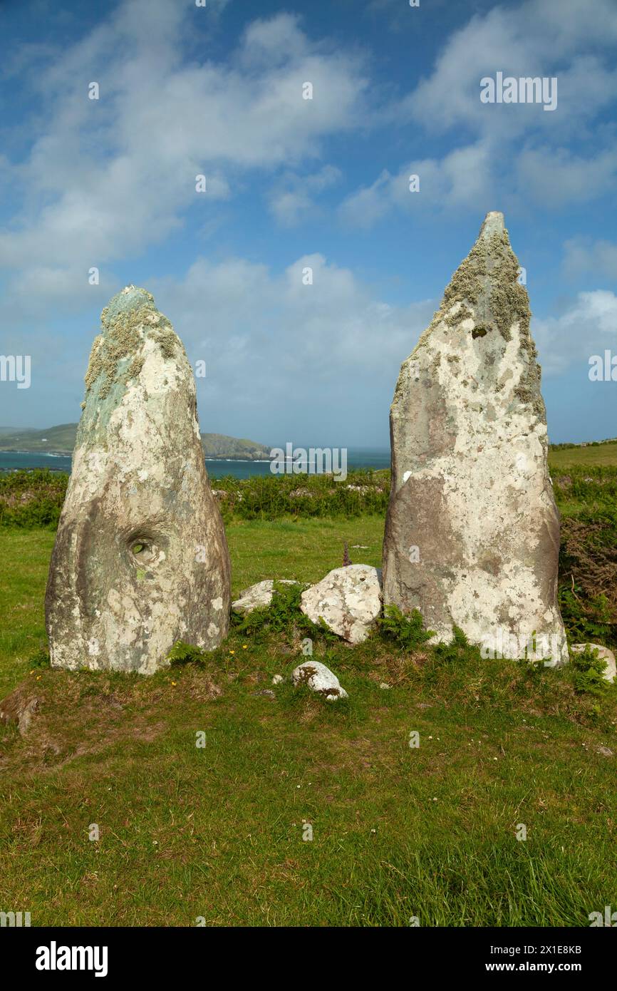 Childrens Burial GdBurial ground · 1.0 mi
 Mount KidMountain / peak · 1.7 mi
 farm housefarm house · 2.0 mi
 Barnageehy Loop WalkWalking route · 2.5 mi
 Church in CorravoleyChurch · 2.6 mi
 Ballydehob Railway StationVisitor information · 2.9 mi
 Ballydehob's 3-Arch Road BridgeVisitor information · 2.9 mi
 Danno O’Mahony statueMemorial · 2.9 mi
 Scart Castle (Site of)Castle, unclassified · 3.8 mi
 Kilcoe CastleCastle · 3.9 mi
Other information
Photo: Credit not shown in the picture search · Rights wording not checked; contact us if this picture should be removed