What is recorded here
On a ridge in undulating grassland immediately E of a stream. Poorly preserved circular rath (D 36.2m) defined by a bank, now breached in numerous places. There is a Man-made underground passage (GA042-167002-) within the interior. A graveyard (GA042-167004-) lies c. 30m to S and a standing stone (GA042-167003-) 7m to E. (Killanin and Duignan 1967, 304-5)
The above description is derived from the published 'Archaeological Inventory of County Galway Vol. II - North Galway'. Compiled by Olive Alcock, Kathy de hÓra and Paul Gosling (Dublin: Stationery Office, 1999).
Date of upload: 05 August 2010
The monument record does not grant public access. Check the route and ask the landowner before entering private land.
- What survives
- Recorded monument
Places near here
 DoonFairy fort / earthen ringfort · 700 yd
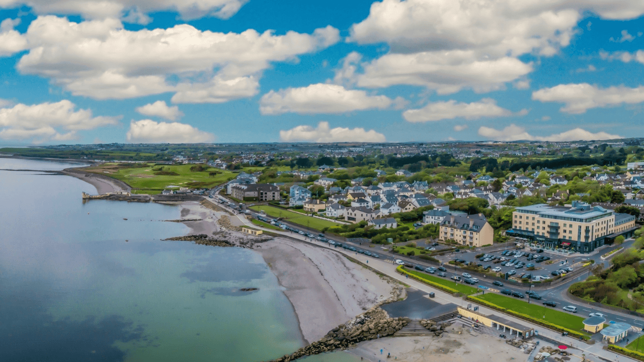 Doonlaur FortFairy fort / earthen ringfort · 1012 yd
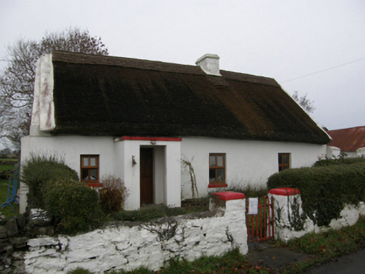 farm housefarm house · 1369 yd
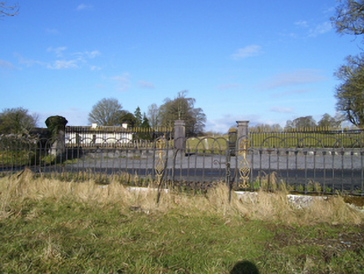 Moyne Hilldemesne walls/gates/railings · 1.0 mi
 Kinlough CastleCastle · 1.3 mi
 Moyne Castle in ruinsCastle, unclassified · 1.6 mi
 Ross Errilly FriaryHeritage attraction · 2.3 mi
 Cregg PlantationForest · 2.7 mi
 Pesooge PlantationForest · 2.7 mi
 Kilcoona Round TowerHeritage attraction · 4.2 mi
 Walsh's IslandIslet · 5.4 mi
 Otter IslandIslet · 6.0 mi