
What is recorded here
In undulating pasture on a slight E-facing slope, with good views in all directions. The townland boundary between Ballygeale and Liskilly and enclosure (LI021-052----) are located 200m W and SW respectively, the old line of the Limerick to Charleville Railway lies 35m to E. Depicted on the 1840 OSi 6-inch map as a…
Read the whole record
From the National Monuments Service (Archaeological Survey of Ireland) record LI021-053
Places near here
Photo credits
- Maker not stated on source page, www.ancient-origins.net
- National Inventory of Architectural Heritage
- Maker not stated on source page, storage.googleapis.com
- Maker not stated on source page, www.pinterest.com
- Maker not stated on source page, www.alamy.com
- Maker not stated on source page, www.gettyimages.com
- Mike Searle, Wikimedia Commons · CC BY-SA 2.0
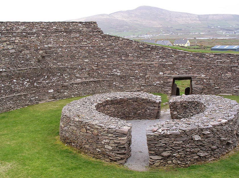 Fairy fort / ringfort in BallygealeFairy fort / ringfort · 557 yd
Explorer Tom Ballygeale’s final ringfort was swallowed by a railway line, which is the most rude thing that has ever happened to an…
 bridge780 yd
Explorer Tom Bridge in Killeen is in a bitter feud with the rain because it keeps getting wet on the wrong side of its arches. It’s…
 Fairy fort / ringfort in GarranroeFairy fort / ringfort · 829 yd
Explorer Tom Fairy fort / ringfort in Garranroe is the site of a local legend about a giant who got stuck in the ditch because his…
 Fairy fort / stone ringfort in KillonahanFairy fort / stone ringfort · 1309 yd
Explorer Tom This stone ringfort in Killonahan has had so many names it’s lost its own. It’s basically a gossip hub for the whole…
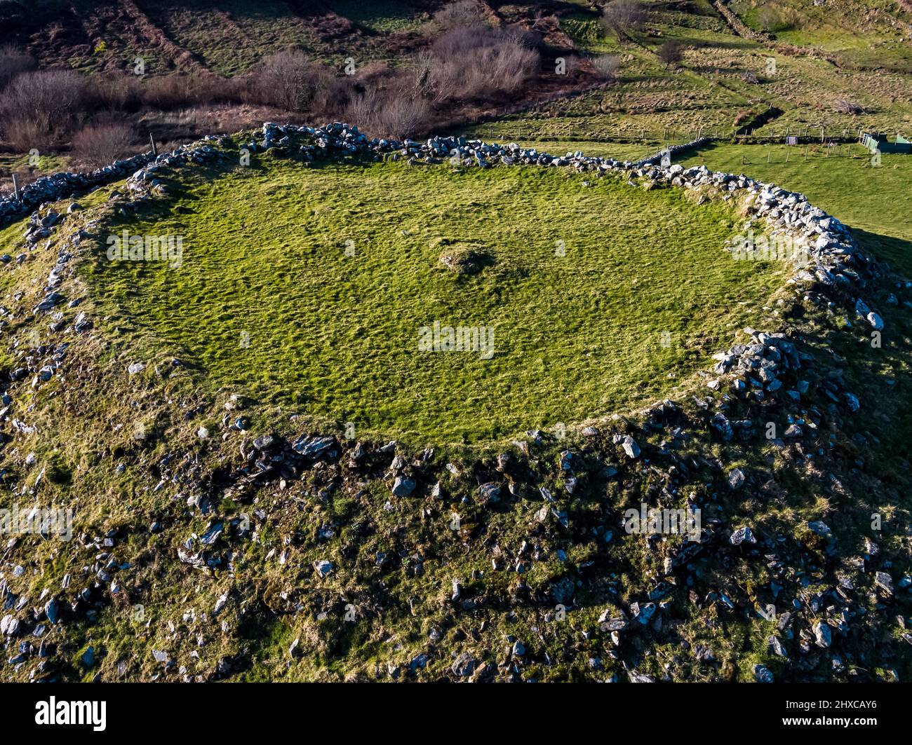 Fairy fort / ringfort in KnockanesFairy fort / ringfort · 1547 yd
Explorer Tom One day this Knockanes ringfort was nearly sold for a horse, but the buyer changed their mind. Now it’s just a memory…
 Fairy fort / ringfort in CastlerobertsFairy fort / ringfort · 1744 yd
Explorer Tom Fairy fort in Castleroberts ended up on a slope because it got lost on the way to flat ground. It looks like it’s…
Fairy fort / ringfort in Fanningstown (coshma By.)Fairy fort / ringfort · 1.1 miExplorer Tom Fairy fort / ringfort in Fanningstown would be the awkward uncle at a wedding, standing by the cake pretending not to…
 Fairy fort / ringfort in BallyluskyFairy fort / ringfort · 1.2 mi
Explorer Tom Fairy fort / ringfort in Ballylusky smells strongly of wet sheep and old secrets. It’s invisible to the eye but loud to…
 Fanningstown CastleCountry house, castle/fortified house · 1.3 mi
Explorer Tom Fanningstown Castle in Fanningstown would tell its younger self to stop trying so hard with those round towers. It…
Fanningstown Castle (in ruins)Castle, tower house · 1.3 miExplorer Tom Fanningstown Castle holds the world record for the most confusing conversion from ruin to luxury B&B. You’d think the…
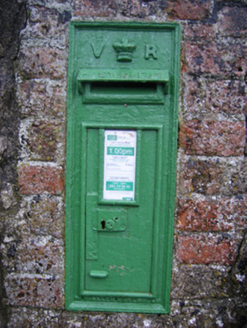 post box1.4 mi
Explorer Tom Post box in Castleroberts was briefly ruled by a goat who demanded letters be sealed with milk. Queen Victoria’s crown…
 Ballinveala Castle (in ruins)Castle, tower house · 1.4 mi
Explorer Tom Ballinveala Castle nearly got famous when someone almost found it but looked in the wrong field. It’s four stories of…
More archaeology and monuments in County Limerick · All of County Limerick

What do you know about this place?Tap to add a comment or ask a question