What is recorded here
Lisnaskeha was a ringfort in flat Galway pastureland, recorded on maps in 1838 and 1929 but no longer visible, suggesting its stones or earthwork disappeared before modern photography. The name and shape point to a cashel, likely a fortified home or refuge near Lough Rea. It may have been abandoned, broken up for building stone, or simply buried under grass and time.
In flat pastureland, c. 400m to the S of Lough Rea. Marked on the 1838 edition of the OS 6-inch map as a circular enclosure (diam. c. 30m); on the 1929 resurvey it is indicated by a line of hachures from SSW through W to N and is more subrectangular in plan. No visible surface trace survives. The cartographic evidence and name suggest it was a ringfort, possibly a cashel.
Compiled by: Galway Archaeological Survey, UCG
Date of upload: 11 March 2019
The monument record does not grant public access. Check the route and ask the landowner before entering private land.
- What survives
- Recorded monument
Places near here
 Enclosure in Grange (loughrea By.)Enclosure · 193 yd
 LisduffFairy fort / earthen ringfort · 319 yd
 Island McCooIslet · 796 yd
 Ash IslandIslet · 927 yd
 Long PointHeadland · 1316 yd
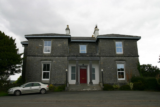 Coorheen Housecountry house · 1504 yd
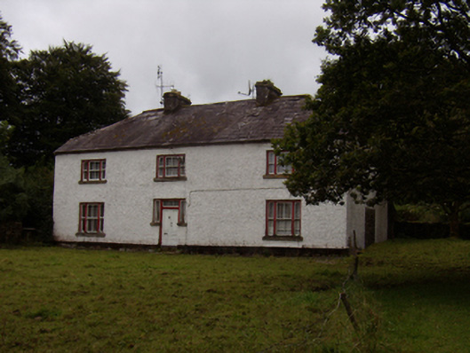 Abbeyville Househouse · 1527 yd
 Site of CastleCastle, unclassified · 1.9 mi
 Site of Cloonoo CastleCastle, unclassified · 2.5 mi
 Scalpeen RockNamed rock · 4.2 mi
 Dartfield Horse MuseumHeritage attraction · 5.2 mi
 KnockapollboyMountain / peak · 5.8 mi