What is recorded here
In grassland. Poorly preserved circular rath (diam. c. 35m) defined by a bank with traces of internal stone-facing at NE.
From the National Monuments Service (Archaeological Survey of Ireland) record GA105-111
The monument record does not grant public access. Check the route and ask the landowner before entering private land.
- What survives
- Recorded monument
Places near here
Enclosure in Grange (loughrea By.)Enclosure · 400 ydIsland McCooIslet · 696 ydStone Islands SouthIslet · 1020 yd Long PointHeadland · 1204 ydSaint Dympna's Catholic ChurchChurch/chapel · 1486 ydAbbeyville HouseHouse · 1554 ydSt. Brendans Catholic CathedralCathedral · 1.4 miScalpeen RockNamed rock · 4.2 miCastle (in ruins)Castle, tower house · 5.6 miPallas CastleCastle, tower house · 9.3 miEuropean ash10 miHawthorn10 mi
 Long PointHeadland · 1204 yd
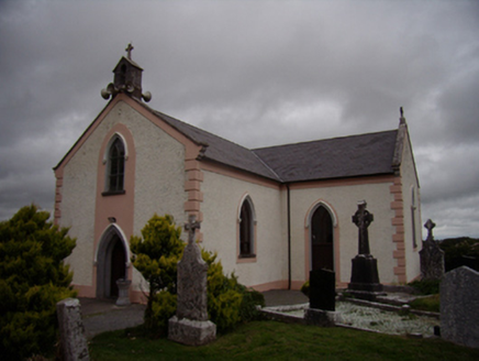 Saint Dympna's Catholic ChurchChurch/chapel · 1486 yd
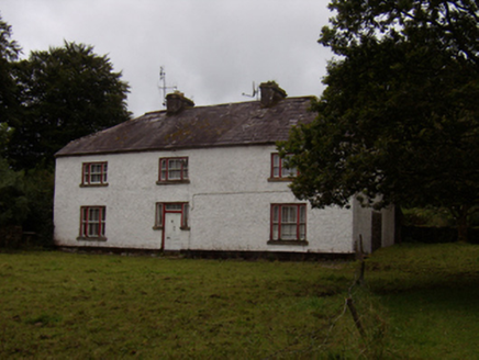 Abbeyville HouseHouse · 1554 yd
 St. Brendans Catholic CathedralCathedral · 1.4 miScalpeen RockNamed rock · 4.2 mi
_-_geograph.org.uk_-_5829605.jpg/250px-Castles_of_Connacht,_Dunsandle,_Galway_(1)_-_geograph.org.uk_-_5829605.jpg "Photo: Mike Searle, Wikimedia Commons · CC BY-SA 2.0") Castle (in ruins)Castle, tower house · 5.6 mi
Castle (in ruins)Castle, tower house · 5.6 mi Pallas CastleCastle, tower house · 9.3 mi
 European ash10 mi
 Hawthorn10 mi
Pictures: DeeEmm, Geograph · CC BY-SA 2.0; National Inventory of Architectural Heritage; Vanessa Kennedy, Wikimedia Commons · CC BY 2.0; Mike Searle, Wikimedia Commons · CC BY-SA 2.0; Michael Deligan, Wikimedia Commons · CC BY-SA 4.0; Willow, Wikimedia Commons · CC BY 2.5; Didier Descouens, Wikimedia Commons · CC BY-SA 4.0
More archaeology and monuments in County Galway · All of County Galway
What do you know about this place?