What is recorded here
Situated on the gradual W-facing slope of a low hill in undulating terrain. Inspected in 1963 when it was described as a 'sub-rectangular plot of ground somewhat banked up on W side where ground falls away to a stream. The interior has been levelled up for some purpose (either a field or garden or possibly a farmstead) but it does not resemble any known type of field monument. No fosse. Bank only 3-4ft [0.9-1.2m] high at highest (on W side). On S and E sides it is largely imperceptible, its line being marked only by briars. N side is bounded by a modern fence (bank, hedge and ditch)' (OPW files, 1963). Not visible at ground level.
The above description is derived from 'The Archaeological Inventory of County Tipperary. Vol. 1 - North Tipperary' compiled by Jean Farrelly and Caimin O'Brien (Dublin: Stationery Office, 2002). In certain instances the entries have been revised and updated in the light of recent research.
Date of upload/revision: 22 September 2008
The monument record does not grant public access. Check the route and ask the landowner before entering private land.
- What survives
- Recorded monument
Places near here
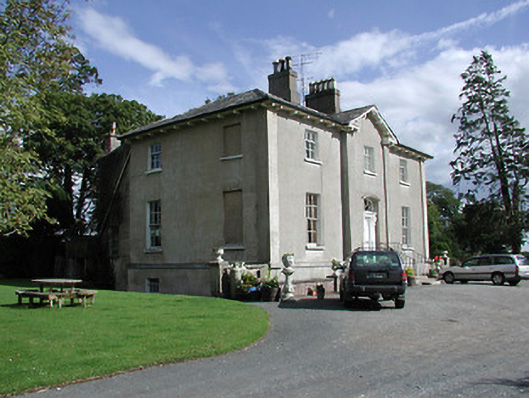 Crossoge Housecountry house · 341 yd
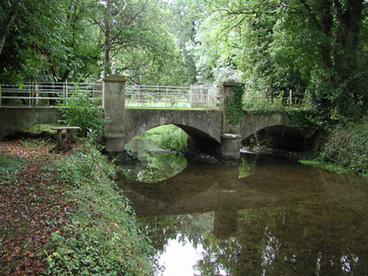 Farney Castlebridge · 632 yd
 Enclosure in Coolkill (moyaliff Par.)Enclosure · 1175 yd
 Coolkill Church (site of)Church · 1255 yd
 Black Castle (in ruins)Castle, unclassified · 1585 yd
 CastleCastle, ringwork · 1.0 mi
 Cormackstown Heritage CentreMuseum · 1.7 mi
 KnockaneMountain / peak · 2.6 mi
 Pallas HillMountain / peak · 2.8 mi
 European ashEuropean ash · 4.0 mi
 Lár na PáirceMuseum · 4.1 mi
 Wildlife CorridorWood · 4.3 mi