What is recorded here
In pasture, on a S-facing slope. A circular area (diam. 24m) defined by a flat-topped earthen bank (Wth 3.75m; int. H 0.5m; ext. H 1.2m). Stone facing is evident on the internal face of the bank NW-NE. An external fosse (Wth 1.9m; D 0.15m) is visible along SE arc. The interior is raised (H 0.65m) above the external ground level to compensate for the hillslope. The N portion of the interior is covered with overgrowth. This rath is also the site of Kilnarovanagh Church (KE057-051002-).
Compiled by: Elizabeth Byrne, Ursula Egan and Sheila Ronan, Archaeological Survey Unit, University College, Cork.
Date of upload: 31 January 2011
The monument record does not grant public access. Check the route and ask the landowner before entering private land.
- What survives
- Recorded monument
Places near here
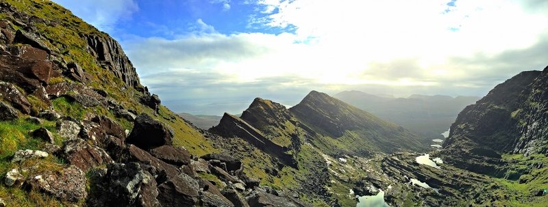 LisnacruttaFairy fort / earthen ringfort · 852 yd
 Milleen FortFairy fort / earthen ringfort · 1623 yd
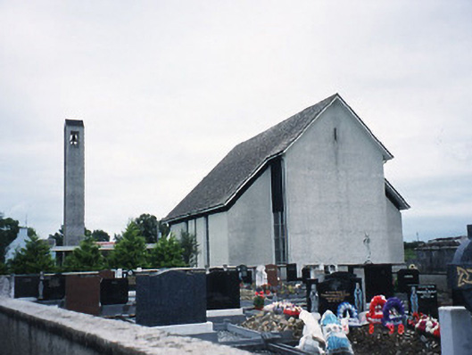 Catholic Church of the Immaculate Conceptionchurch/chapel · 1.1 mi
 The Kerry Creamery ExperienceHeritage attraction · 1.2 mi
 KilnKiln, lime · 1.6 mi
 Pallis Castle (Site of)Castle, tower house · 2.5 mi
 Ballymalis CastleCastle · 3.1 mi
 Japanese pagoda treeJapanese pagoda tree · 3.8 mi
 Dunloe Ogham StonesHeritage attraction · 3.9 mi
 Rabbit or Brown IslandIslet · 5.5 mi
 Lamb IslandIsland · 5.8 mi
 European YewEuropean Yew · 6.0 mi