
What is recorded here
In pastureland. Marked on the OS 6-inch maps as a subcircular enclosure (c. 35m NE-SW; c. 32m NW-SE). No visible surface trace survives. The cartographic evidence and name suggest that it was a ringfort, possibly a cashel. Another possible cashel was located c. 310m to the NNE.
Compiled by: Galway Archaeological Survey, UCG
Date of upload: 11 March 2019
A local fairy fort (ringfort/rath); wider significance not recorded.
The monument record does not grant public access. Check the route and ask the landowner before entering private land.
- What survives
- Recorded monument
Places near here
 Enclosure in Grange (loughrea By.)Enclosure · 160 yd
 LisduffFairy fort / earthen ringfort · 457 yd
 Island McCooIslet · 1101 yd
 Ash IslandIslet · 1174 yd
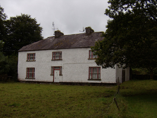 Abbeyville Househouse · 1184 yd
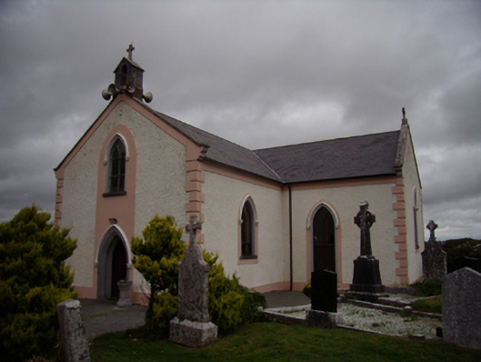 Saint Dympna's Catholic Churchchurch/chapel · 1227 yd
 Long PointHeadland · 1622 yd
 Site of CastleCastle, unclassified · 1.8 mi
 Site of Cloonoo CastleCastle, unclassified · 2.6 mi
 Scalpeen RockNamed rock · 4.0 mi
 Dartfield Horse MuseumHeritage attraction · 5.3 mi
 KnockapollboyMountain / peak · 5.6 mi
Other information
Photo: Credit not shown in the picture search · Rights wording not checked; contact us if this picture should be removed