
What is recorded here
Located in level, lowlying, poorly-drained pasture. Views are restricted by tree-lined field boundaries. This enclosure is named ‘Lisnapreaghan’ on the 1838 and 1930 OS 6-inch maps. Circular area (25.5m NW–SE; 25.8 NE–SW), not noticeably raised, enclosed by two shallow, flat-bottomed fosses (Wth 1.4-1.7m; D 0.3-0.45m)…
Read the whole record
From the National Monuments Service (Archaeological Survey of Ireland) record MA111-031
Places near here
Photo credits
- Maker not stated on source page, www.tripadvisor.com.au
- Maker not stated on source page, www.irishmirror.ie
- National Inventory of Architectural Heritage
- Maker not stated on source page, pixels.com
- Maker not stated on source page, www.the42.ie
- Maker not stated on source page, commons.wikimedia.org
- Maker not stated on source page, monumentalireland.ie
- Golfing in Ireland; photographer not stated, Source publisher
 Church in KilscohaghChurch · 994 yd
Explorer Tom Church in Kilscohagh thinks the shortcut through the field is a trap, so it just stays hidden and plays it safe. It’s…
 Graveyard in KilscohaghGraveyard · 994 yd
Explorer Tom Graveyard in Kilscohagh would win the county fair for best hidden object, hands down. A guy found a burial in 1945 but…
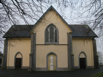 Saint Joseph's Catholic ChurchChurch/chapel · 1440 yd
Explorer Tom Saint Joseph's Catholic Church in Ballindine North had a fiddler who played there all night until dawn. The music was…
 Fairy fort / earthen ringfort in SkehavaudFairy fort / earthen ringfort · 1517 yd
Explorer Tom Fairy fort / earthen ringfort in Skehavaud is judging your Dublin fashion sense from the ridge. I bet it thinks you're…
 Ballindine, Davitts GAAGAA ground · 1521 yd
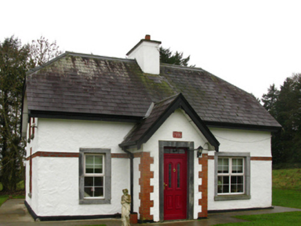 CastlemacgarrettGate lodge · 1593 yd
Explorer Tom Castlemacgarrett Gate Lodge is playing king-of-the-hill at the entrance to the estate, wearing timber roofline…
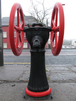 water pump1664 yd
Explorer Tom Ballindine East is guarding its market square with a rotary pump that thinks it’s a royal carriage wheel. It’s all spin…
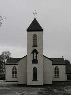 Saint Mary's Catholic ChurchChurch/chapel · 1.3 mi
Explorer Tom Saint Mary's Catholic Church in Burris is built by a Reverend Andrew Gavin, giving it that early nineteenth-century…
 Crossboyne BridgeBridge · 1.3 mi
Explorer Tom Crossboyne Bridge would say in a job interview that it has excellent load-bearing experience and no drama. It’s narrow…
 All Souls Church of Ireland CrossboyneGraveyard · 1.3 mi
Explorer Tom All Souls Church of Ireland Crossboyne in County Mayo is a graveyard that thinks it’s a church, which is a bit of an…
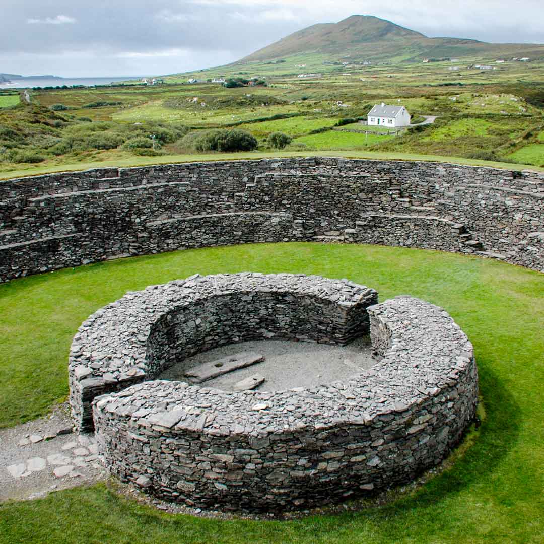 Fairy fort / earthen ringfort in Castlemagarret NorthFairy fort / earthen ringfort · 1.6 mi
Explorer Tom Fairy fort / earthen ringfort in Castlemagarret North sits there looking smug because it knows it’s seen better…
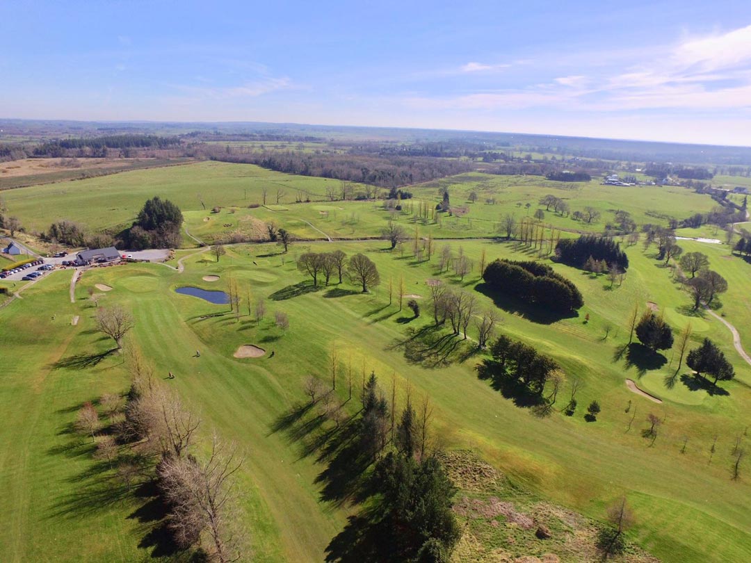 Claremorris Golf ClubGolf course · 2.0 mi
More archaeology and monuments in County Mayo · All of County Mayo

What do you know about this place?Tap to add a comment or ask a question