
What is recorded here
On the crest of a low but moderately steep-sided E-facing rise, under dense thorn cover. Hachured on the 1842 ed. of the OS 6-inch map, named ‘Lisnanard’ on the 1915 ed. and named ‘Lios na nArd’ on Robinson’s (1977) map. It is likely the feature from which the townland derived its name. Listed as ‘Enclosure’ in the SMR (1992) and the RMP (1996). A very poorly preserved and difficult to access oval cashel (int. dims. 43m N–S; 39m E–W) defined by a low bank (Wth 5–6.8m; H 0.8–1.1m) of collapsed walling with no obvious facing-stones or entrance visible. Later collapsed field walls run E–W across the N of the interior and N–S across the W of the interior. Ballyvaghan forts, two raths (CL002-050---- and CL002-052----) and an enclosure (CL002-054----) are in a cluster c. 450m to the E.
Compiled by: Mary Tunney and Ros Ó Maoldúin
Date of upload: 9 December 2020
Lisnanard is a ringfort situated on a low, east-facing rise, with historical mapping indicating its presence from at least the early 19th century. The name "Lios na nArd" (meaning "Fort of the Nobles" or "Fort of the High Ones") suggests an early-medieval origin and may reflect local tradition associating the site with ancient Irish elites or, in later folklore, with fairy realms.
The monument record does not grant public access. Check the route and ask the landowner before entering private land.
- What survives
- Recorded monument
Places near here
 Ballyvaghan FortsFairy fort / stone ringfort · 464 yd
 Catholic Church of Saint John the Baptistchurch/chapel · 466 yd
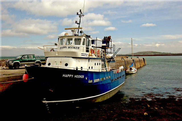 Ballyvaghan QuayQuay · 471 yd
 Ballyvaghan Castle (in ruins)Castle, unclassified · 494 yd
 J.M. Mooney and Sonshouse · 497 yd
 Newtown CastleCastle, tower house · 1737 yd
 Rine PointHeadland · 1.1 mi
 CappanawallaMountain / peak · 1.8 mi
 Bird Of Prey CentreHeritage attraction · 1.8 mi
 Aillwee CaveCave · 1.9 mi
 Moneen MountainMountain / peak · 2.4 mi
 Muckinish PointHeadland · 3.2 mi
Other information
Photo: Credit not shown in the picture search · Rights wording not checked; contact us if this picture should be removed