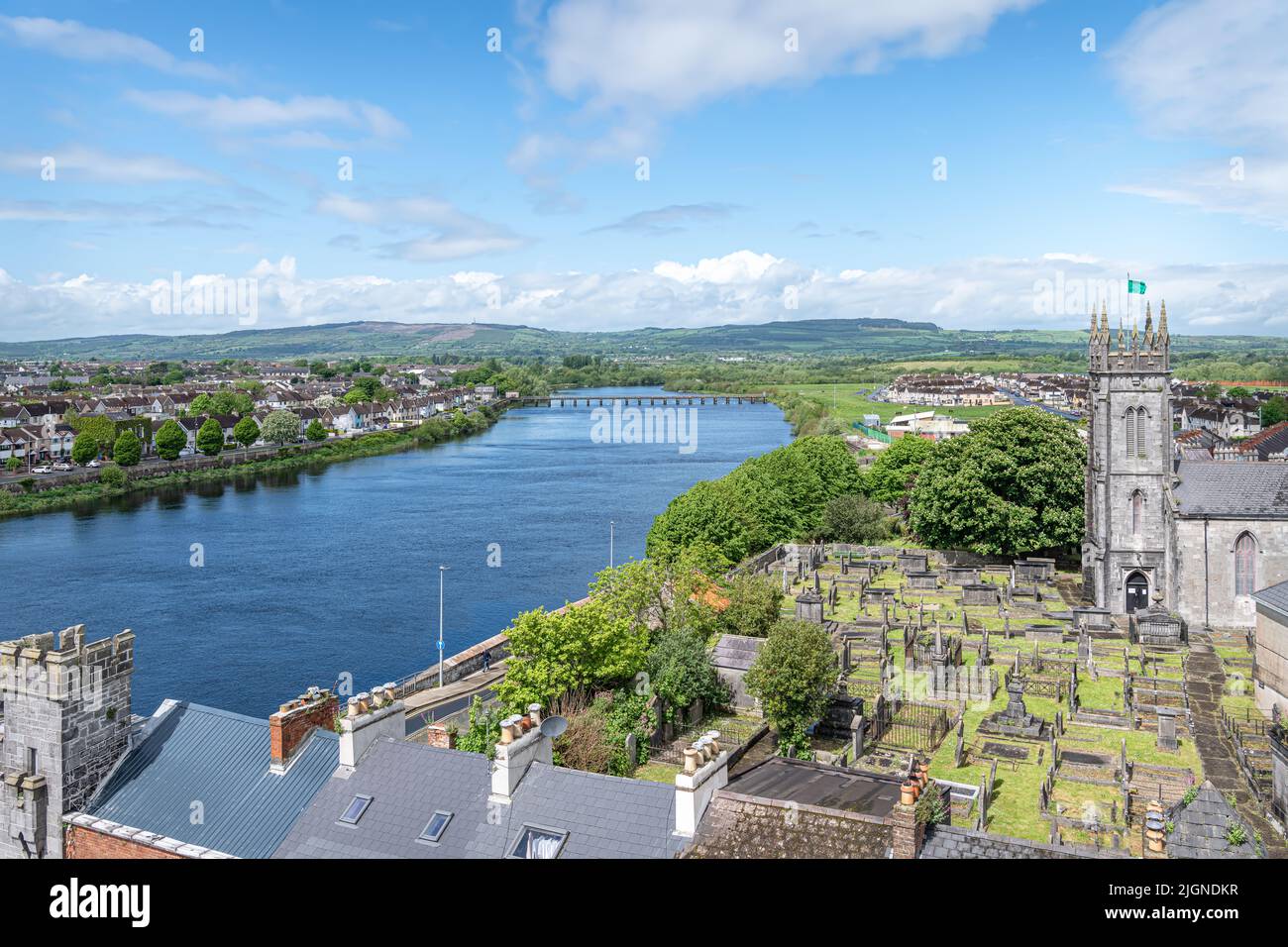
What is recorded here
In pasture, on E-facing hill slope. Circular area (diam. c. 39m) enclosed by earth-and-stone bank. Bank height is lowest at W (ext. H 0.65m) and then increases (ext. H 1.9m) where fall away in terrain is greatest N->E. Break in bank (W 1.4m) at E. Interior is covered by dense vegetation overgrowth, and contains dumps of field clearance debris. Field boundaries skirt enclosure at S and E, meeting just SE of enclosure so that it occupies SE corner of field.
Compiled by: Denis Power
Date of upload: 26 August 2011
The monument record does not grant public access. Check the route and ask the landowner before entering private land.
- What survives
- Recorded monument
Places near here
 Fulacht fia in CloonyclohassyFulacht fia · 449 yd
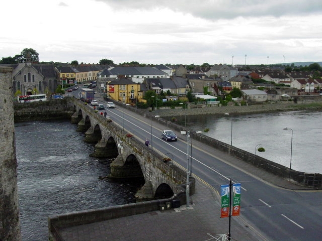 Not shown.Fairy fort / earthen ringfort · 650 yd
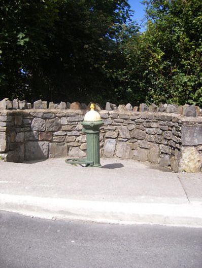 water pumpwater pump · 1403 yd
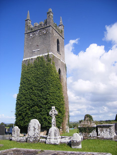 Shanagolden Churchchurch/chapel · 1578 yd
 Castle (Site of)Castle, unclassified · 1.1 mi
 Shanid Castle (in ruins)Castle, Anglo-Norman masonry castle · 1.4 mi
 Monterey CypressMonterey Cypress · 2.5 mi
 Foynes Flying Boat & Maritime MuseumMuseum · 2.7 mi
 Foynes Island ViewpointViewpoint · 2.8 mi
 Gammarel PointHeadland · 3.2 mi
 Foynes IslandIsland · 3.3 mi
 Battery PointHeadland · 3.3 mi
Other information
Photo: Credit not shown in the picture search · Rights wording not checked; contact us if this picture should be removed