
What is recorded here
In marshy pasture, at the foot of an E-facing slope. A circular mound (H 0.5m; 11.3m N-S; 12m E-W) of burnt material. The E half of the mound has been reduced in height by quarrying (quarried area: 7.7m E-W; 10m N-S). Located c. 9m SE of the mound is a short curving portion of a relict field boundary ((H c. 0.3m; Wth c. 2.8m); immediately SE of this are two further fulachta fia (LI019-250- & LI019-251-).
Compiled by: Denis Power
Date of upload: 26 August 2011
The monument record does not grant public access. Check the route and ask the landowner before entering private land.
- What survives
- Recorded monument
Places near here
 Lisnamnaroe - HachuredFairy fort / earthen ringfort · 449 yd
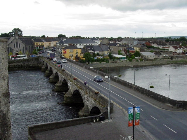 Not shown.Fairy fort / earthen ringfort · 529 yd
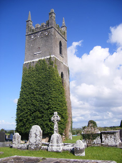 Shanagolden Churchchurch/chapel · 1152 yd
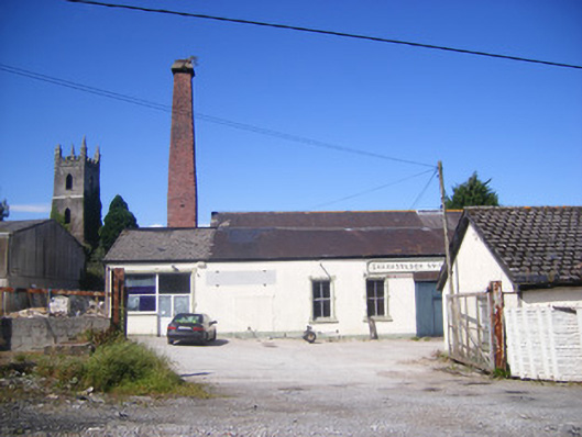 Shanagolden Creamerycreamery, chimney · 1196 yd
 Castle (Site of)Castle, unclassified · 1.2 mi
 Shanid Castle (in ruins)Castle, Anglo-Norman masonry castle · 1.5 mi
 Foynes Flying Boat & Maritime MuseumMuseum · 2.5 mi
 Monterey CypressMonterey Cypress · 2.6 mi
 Foynes Island ViewpointViewpoint · 2.7 mi
 Gammarel PointHeadland · 3.0 mi
 Foynes IslandIsland · 3.2 mi
 Battery PointHeadland · 3.3 mi
Other information
Photo: Credit not shown in the picture search · Rights wording not checked; contact us if this picture should be removed