
What is recorded here
In pasture, on the lower southern slopes of a ridge. This rath has been levelled; a circular area (diam. c. 23m) terraced into the hillslope, with the N portion up to 1m below and the S portion up to c. 1.9m above the external ground level. Indicated on the 1938 OS 6-inch map as an embanked circular area (diam. c. 20m) and on the 1914 OS 6-inch map as a hachured arc (diam. c. 25m) forming a scarp E-NW, surrounded on three sides (E, S and W) by field boundaries, at the S end of a narrow field (Wth 30m).
The above description is derived from the published 'Archaeological Inventory of County Sligo' compiled by Ursula Egan, Elizabeth Byrne, Mary Sleeman with Sheila Ronan and Connie Murphy (Dublin Stationery Office, 2005).
Date of upload: 18 January 2008
Lisnambruic is a levelled early-medieval ringfort, likely dating to between the 5th and 10th centuries, situated on a terraced hillside. Local tradition associates such sites with the "fairy folk," and although no specific folklore is recorded for this rath, its name may derive from "Lios na mBrú," meaning "fairy enclosure of the caves" or "fairy fort of the caves," reflecting a common Irish association of raths with supernatural beings.
The monument record does not grant public access. Check the route and ask the landowner before entering private land.
- What survives
- Recorded monument
Places near here
 IndicatedFairy fort / stone ringfort · 211 yd
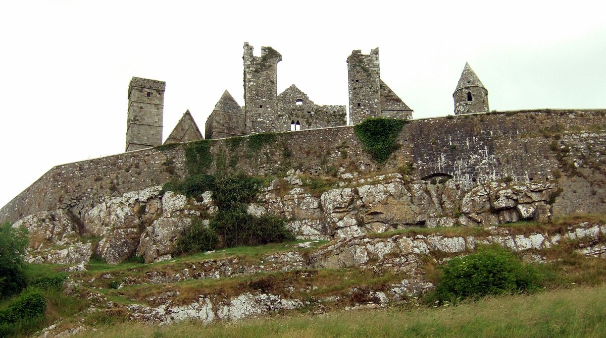 CashelFairy fort / stone ringfort · 262 yd
 Castle (in Ruins)Castle, tower house · 1.3 mi
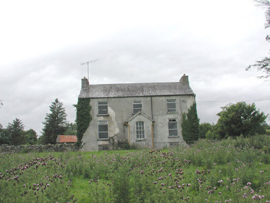 The Gleberectory/glebe/vicarage/curate's house · 1.6 mi
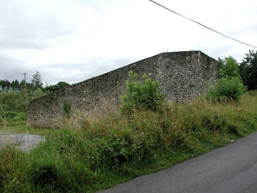 handball alleyhandball alley · 1.7 mi
 HawthornHawthorn · 3.5 mi
 Hennigan's Heritage CentreHeritage attraction · 3.7 mi
 Castle Carragh in RuinsCastle, unclassified · 4.7 mi
 Procession Of The SoulsMemorial · 4.8 mi
 Youth Memorial GardenMemorial · 5.0 mi
 KnockasliggaunMountain / peak · 5.1 mi
 Brabazon WoodsForest · 5.2 mi
Other information
Photo: Credit not shown in the picture search · Rights wording not checked; contact us if this picture should be removed