
What is recorded here
Lisnagallaun/Lios na nGallán: This trivallate rath, marked on both editions of the OS maps, was levelled in the early 1980s and no visible surface trace remains. The site afforded distant views in all directions. In 1906, Cooke described the site and investigated its stone-built Man-made underground passage (1906,…
Read the whole record
From the National Monuments Service (Archaeological Survey of Ireland) record KE065-054
Places near here
Photo credits
- Maker not stated on source page, www.pinterest.com
- Maker not stated on source page, en.wikipedia.org
- Maker not stated on source page, www.pinterest.ca
- Maker not stated on source page, www.wildernessireland.com
- Maker not stated on source page, commons.wikimedia.org
- Maker not stated on source page, www.thecollector.com
- Maker not stated on source page, tr.pinterest.com
- Mike Searle, Wikimedia Commons · CC BY-SA 2.0
 Fairy fort / earthen ringfort in Gearha (dunkerron North By.)Fairy fort / earthen ringfort · 728 yd
Explorer Tom Gearha's ringfort thinks the road leading here is a bit too fancy for its humble earth bank. It prefers muddy paths…
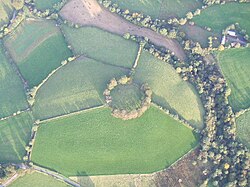 Fairy fort / earthen ringfort in KilgobnetFairy fort / earthen ringfort · 851 yd
Explorer Tom Fairy fort / earthen ringfort in Kilgobnet is currently being used as a farmyard floor by some very confused sheep.…
 Kilgobnet Church (in Ruins)Church · 1039 yd
Explorer Tom Kilgobnet Church in Kilgobnet would take its lotto win and immediately buy a giant pair of boots for every sheep in the…
 Decorated stone in KilgobnetDecorated stone · 1043 yd
Explorer Tom Decorated stone in Kilgobnet has an imaginary fan club of very confused historians who keep writing letters to it. It’s…
Fairy fort / earthen ringfort in GortboyFairy fort / earthen ringfort · 1114 ydExplorer Tom Fairy fort / earthen ringfort in Gortboy is completely levelled now, so why does the wind keep picking on it? It’s like…
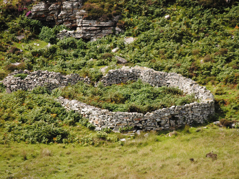 Fairy fort / stone ringfort in Gearha (dunkerron North By.)Fairy fort / stone ringfort · 1271 yd
Explorer Tom Fairy fort / stone ringfort in Gearha is half-buried in bog but still standing tall. A zombie apocalypse? Just keep…
 Fairy fort / earthen ringfort in KilloughaneFairy fort / earthen ringfort · 1422 yd
Explorer Tom Fairy fort / earthen ringfort in Killoughane was built by a guy who clearly didn't check the weather forecast, because…
 Ogham stone in KilgobnetOgham stone · 1493 yd
Explorer Tom Ogham stone in Kilgobnet was last seen standing tall, but now it’s just a rumor that a local claims to have invented…
 Fairy fort / earthen ringfort in BallyledderFairy fort / earthen ringfort · 1.0 mi
Explorer Tom Fairy fort / earthern ringfort in Ballyledder hates one specific visitor who keeps dropping chips into the ditch. The…
 Knockane Church (in Ruins)Church · 1.5 mi
Explorer Tom Knockane Church gave up its roof for Lent, claiming it helped with spiritual digestion. It sits near the Gaddagh river…
 Ballymalis Castle (in ruins)Castle, tower house · 2.1 mi
Explorer Tom Ballymalis Castle has had so many names in its lifetime that it’s basically a chameleon, changing its identity every…
 Ballymalis CastleCastle · 2.1 mi
Explorer Tom Ballymalis Castle is currently run by a very stern terrier who demands a treat before you can even look at the walls.…
More archaeology and monuments in County Kerry · All of County Kerry

What do you know about this place?Tap to add a comment or ask a question