
What is recorded here
Lisnacalaha is a levelled fairy fort in Kerry where a two-metre ditch and outer bank still break the pasture on the southeast arc. The missing western passage and flattened center suggest human hands built the ring before forgetting what it guarded.
In pasture, on an E-facing slope. This rath is indicated on the 1846 and 1894 OS 6-inch map as a circular enclosure (diam. c. 40m) bisected by an E-W field boundary. It has been levelled and its outline is evident either as a slight rise or scarp along the SW, NW and NE arcs. Along the SE arc, a scarp (H 2.5m) survives. A fosse (Wth 2m at base) is visible ESE-S, outside of which is an outer bank (Wth 5.9m; ext. H 1.3m) ESE-SSE. An E-W field boundary bisects the interior. There is a possible Man-made underground passage (KE058-059001-) in the W sector.
Compiled by: Elizabeth Byrne, Ursula Egan and Sheila Ronan, Archaeological Survey Unit, University College, Cork.
Date of upload: 31 January 2011
The monument record does not grant public access. Check the route and ask the landowner before entering private land.
- What survives
- Recorded monument
Places near here
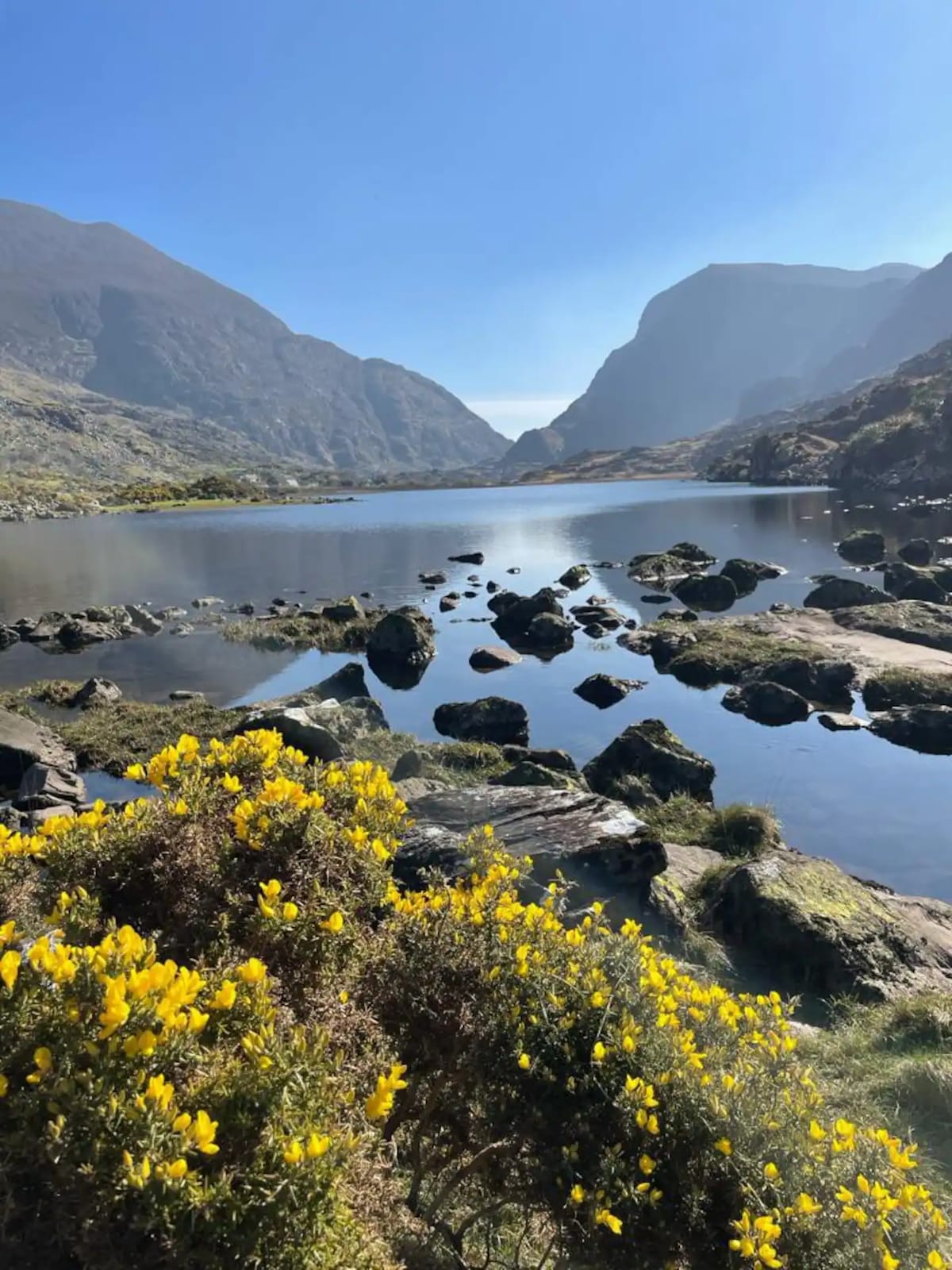 Enclosure in Barleymount EastEnclosure · 1235 yd
 LisbarranageehaFairy fort / earthen ringfort · 1433 yd
 MillMill, unclassified · 1.1 mi
 Water millWater mill, horizontal-wheeled · 1.2 mi
 Aghadoe Early Medieval Ecclesiastical SiteHeritage attraction · 1.8 mi
 Parkavonear CastleCastle · 1.9 mi
 Pallis Castle (Site of)Castle, tower house · 2.5 mi
 Japanese pagoda treeJapanese pagoda tree · 3.4 mi
 Circular WalkWalking route · 3.4 mi
 Lamb IslandIsland · 3.4 mi
 Rabbit or Brown IslandIslet · 3.4 mi
 Famine MemorialMemorial · 3.5 mi
Other information
Photo: Credit not shown in the picture search · Rights wording not checked; contact us if this picture should be removed