What is recorded here
In pasture, on an ESE-facing slope. The present remains consist of a D-shaped area (c. 48m E-W; c. 40m N-S) defined by an earthen bank (Wth 4m; int. H 0.8m; ext. H 1m) SE-S, by a scarp S-WSW and along the straight sides at NW and E by NE-SW and N-S field boundaries, respectively. The field boundary at NW may incorporate material from the bank. The N sector of the interior slopes down to the S. The S portion of the interior is raised to compensate for the hillslope. A WNW-ESE field boundary crosses the S half of the interior. There is a possible entrance in the S arc. The rath is indicated on the 1846 OS 6-inch map as a circular area (diam. c. 40m) which is crossed to the SW of the centre by a WNW-ESE field boundary. On the 1894 OS 6-inch map, a linear field boundary defines the E side and the hachured bank at N has been straightened to give the enclosure a roughly oval appearance. Another rath (KE058-054----) is c. 50m to the WNW.
In pasture, on an ESE-facing slope. The present remains consist of a D-shaped area (c. 48m E-W; c. 40m N-S) defined by an earthen bank (Wth 4m; int. H 0.8m; ext. H 1m) SE-S, by a scarp S-WSW and along the straight sides at NW and E by NE-SW and N-S field boundaries, respectively. The field boundary at NW may incorporate material from the bank. The N sector of the interior slopes down to the S. The S portion of…
From the National Monuments Service (Archaeological Survey of Ireland) record KE058-055
The monument record does not grant public access. Check the route and ask the landowner before entering private land.
- What survives
- Recorded monument
Places near here
Photo credits
- National Inventory of Architectural Heritage
- Berthold Strucken, Wikimedia Commons · CC BY-SA 4.0
- Bkwillwm, Wikimedia Commons · CC BY-SA 3.0
- Mike Searle, Geograph · CC BY-SA 2.0
- Sitomon, Wikimedia Commons · CC BY-SA 2.0
- Adrian Beney, Wikimedia Commons · CC BY-SA 2.0
- Colin Park, Geograph · CC BY-SA 2.0
- Keith Salvesen, Geograph · CC BY-SA 2.0
- A.-K. D., Wikimedia Commons · CC0
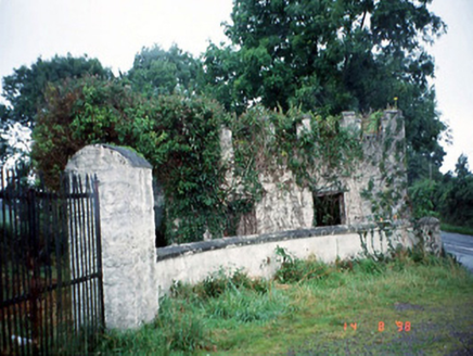 Grenagh HouseGate lodge · 1.9 mi
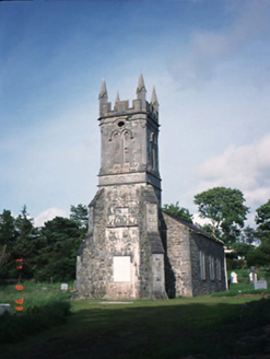 Aghadoe ChurchChurch/chapel · 1.9 mi
_1.jpg/250px-Aghadoe_(Early_Medieval_Ecclesiastical_Site)_1.jpg "Photo: Berthold Strucken, Wikimedia Commons · CC BY-SA 4.0") Aghadoe Early Medieval Ecclesiastical SiteHeritage attraction · 2.3 mi
Aghadoe Early Medieval Ecclesiastical SiteHeritage attraction · 2.3 mi Parkavonear CastleCastle · 2.3 mi
 Castle (in Ruins)Castle, tower house · 2.8 mi
 European Yew2.8 miEuropean Yew2.8 mi
.jpg/250px-Dunloe_(Ogham_Stones).jpg "Photo: Berthold Strucken, Wikimedia Commons · CC BY-SA 4.0") Dunloe Ogham StonesHeritage attraction · 3.0 mi
Dunloe Ogham StonesHeritage attraction · 3.0 mi Lamb IslandIsland · 3.6 mi
 Circular WalkWalking route · 3.8 mi
 Innisfallen Abbey (in Ruins)Ecclesiastical site · 3.9 mi
 Cross-slab in InnisfallenCross-slab · 3.9 mi
More archaeology and monuments in County Kerry · All of County Kerry
What do you know about this place?