What is recorded here
Mound and ditch still mark the fort, though conifers and elders have claimed the centre. The farm shed and hay barn stand close enough to suggest people still use the land around it, perhaps unaware they work beside an old boundary. What the circle excluded, who lived inside it, and when the wall collapsed have all slipped from local memory.
Immediately SW of farmyard, on N-facing slope. Circular area (24m N-S) defined by scarped edge (H 1.1m; Wth 3.4m) steepest to N and E where land falls away from enclosure; very shallow fosse (Wth 2m) S->SW. Ruinous field wall (H c. 0.5m) follows curve of enclosure c. 2m outside bottom edge of scarp. Interior, overgrown with mature conifers, elders etc., dips slightly down towards centre; just E of centre is rectangular mound (4m N-S; 3m E-W; H 0.3m). A farm shed stands immediately outside enclosure to NE, and a hay barn stands short distance to S.
Compiled by: Denis Power
Date of upload: 26 August 2011
The monument record does not grant public access. Check the route and ask the landowner before entering private land.
- What survives
- Recorded monument
Places near here
 IndicatedFairy fort / earthen ringfort · 1008 yd
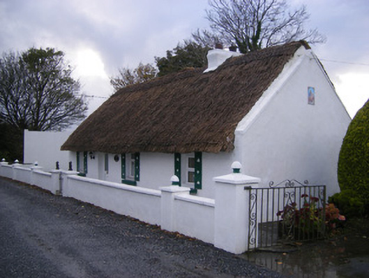 Leprechaun Cottagehouse · 1033 yd
 WindmillWindmill · 1296 yd
 KilnKiln, lime · 1369 yd
 Kilfinny CastleCastle · 1586 yd
 Kilmacow Ho.Bawn · 1.1 mi
 Kinnoor WellSpring · 1.4 mi
 Flat cemetery in Kiltenan SouthFlat cemetery · 1.8 mi
 KnockfeerinaMountain / peak · 1.9 mi
 Famine stoneMemorial · 1.9 mi
 Dysert AenghusaHeritage attraction · 3.1 mi
 Biodiversity in the Maigue CatchmentVisitor information · 4.1 mi
Other information
Photo: Credit not shown in the picture search · Rights wording not checked; contact us if this picture should be removed