What is recorded here
Situated on top of a broad drumlin. This is a grass and rush-covered circular area (diam. 30.6m N-S; 30.2m E-W; H 0.25-0.5m) defined by a fosse (Wth of base 2-2.5m) and an external bank (Wth of base 2.5-3m; ext. H 0.1-0.2m) NE-S-NW. There are traces of a second outer fosse (Wth 2m) SE-W-NW and slight traces of a second outer bank (Wth 3m) SW-NW. The banks and fosses are truncated by an E-W field drain and bank of a farm lane at N, and by a N-S field drain and bank at E.
The above description is derived from 'The Archaeological Inventory of County Leitrim' compiled by Michael J. Moore (Dublin: Stationery Office, 2003). In certain instances the entries have been revised and updated in the light of recent research.
Compiled by: Michael Moore
Date of revised upload: 15 October 2019
A Neolithic ring barrow or circular earthwork, likely dating to the Early to Middle Neolithic period (c. 4000–3000 BCE). Its construction suggests ritual or funerary significance, typical of ceremonial landscapes in lowland Ireland.
The monument record does not grant public access. Check the route and ask the landowner before entering private land.
- What survives
- Recorded monument
Places near here
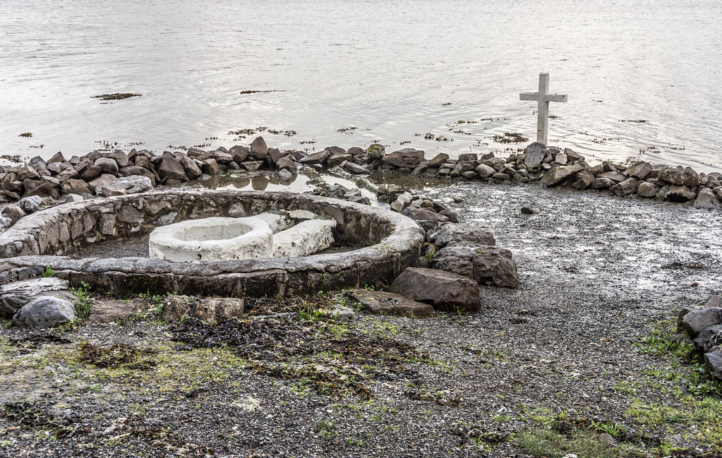 Holy well in AghintoberHoly well · 832 yd
 LisduffFairy fort / earthen ringfort · 1400 yd
 Drumsna National Schoolschool · 1.8 mi
 Church (in Ruins)Church · 2.0 mi
 Declaration of IndependenceMemorial · 2.1 mi
 Robert Strawbridge MemorialMemorial · 2.2 mi
 Wildlife AreaNature reserve · 2.5 mi
 CastlecarraCastle, unclassified · 2.5 mi
 Leabaidh DermotCave · 2.8 mi
 PortCastle, unclassified · 3.3 mi
 Shannon-Erne WaterwayVisitor information · 3.4 mi
 Moon RiverHeritage attraction · 3.9 mi