What is recorded here
Situated on a level landscape and just N of where three old field drains meet. A small circular feature described as ‘Lismahon Moat’ is depicted on the 1836 edition of the OS 6-inch map and it is described similarly on the 1908 edition. This is an oval, flat-topped and grass-covered mound (dims of base 16m E-W; 9m N-S; dims of top 6.5m E-W; 1.5m; H 1.6m at E to 2.2m at W) at the S corner of a field with large silted drains just to the E and W.
The above description is derived from the published 'Archaeological Inventory of County Meath' (Dublin: Stationery Office, 1987). In certain instances the entries have been revised and updated in the light of recent research.
Compiled by: Michael Moore
Date of upload: 10 July 2007
Amended: 22 November 2021
A possible prehistoric ring-ditch or ritual enclosure, potentially dating to the Bronze Age; its significance lies in its early map depiction and possible ceremonial or territorial function.
The monument record does not grant public access. Check the route and ask the landowner before entering private land.
- What survives
- Recorded monument
Places near here
 Lismahon 1798 MemorialMonument · 212 yd
 Saint Keiran's Church (Ballymaglassan)church/chapel · 1090 yd
 Site of Old ChurchChurch · 1109 yd
 Font in RathreganFont · 1423 yd
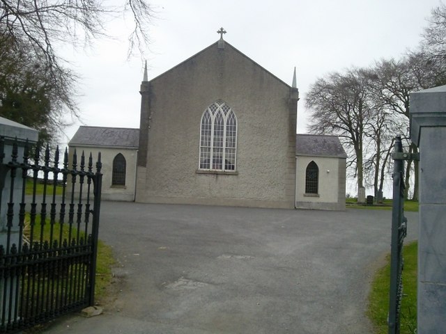 Catholic Church of the Assumptionchurch/chapel · 1437 yd
 Site of Old CastleCastle, unclassified · 1.4 mi
 CastleCastle, motte · 2.2 mi
 Saint Oliver Plunkett 1625-1681Memorial · 2.8 mi
 MullaghMountain / peak · 3.6 mi
 Hanwood GardensHeritage attraction · 3.7 mi
 Ash HillMountain / peak · 3.9 mi
 Caulstown Christmas Tree FarmForest · 4.5 mi