What is recorded here
On a SW-facing slope in gently rolling grassland. Well-preserved circular rath (D 49m) defined by a bank and external fosse. The bank is visible from S through N to SE and the fosse survives from W through N to SSE. There is a probable Man-made underground passage (GA029-031001-) within the interior. (Costello 1903, 10)
The above description is derived from the published 'Archaeological Inventory of County Galway Vol. II - North Galway'. Compiled by Olive Alcock, Kathy de hÓra and Paul Gosling (Dublin: Stationery Office, 1999).
Date of upload: 05 August 2010
The monument record does not grant public access. Check the route and ask the landowner before entering private land.
- What survives
- Recorded monument
Places near here
 LisseenyFairy fort / earthen ringfort · 635 yd
 Enclosure in BracklaghEnclosure · 816 yd
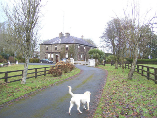 Mayfield Househouse · 1155 yd
 Country house in Birmingham DemesneCountry house · 1270 yd
 Castle (in ruins)Castle, tower house · 1284 yd
 CastleCastle, unclassified · 1.6 mi
 European ashEuropean ash · 3.1 mi
 Mass RockNamed rock · 4.7 mi
 KnockmaaWood · 6.8 mi
 Kilcoona Round TowerHeritage attraction · 11 mi
 Ballinduff BayBay · 13 mi
 Enclosure in SlievedarraghEnclosure · 1215 yd