What is recorded here
Liskenny Burial Ground is a small, overgrown place for children and strangers in County Clare, named after a fort that the road from Tulla to Kilkishen later cut through. It sits on a gentle slope above a stream valley, half hidden in briars and thorn trees, with no obvious graves left to read. The road took the east side, the brush took the rest, and what remains is a quiet edge where the living world stopped paying attention.
In improved pasture, on a gentle N-facing slope overlooking the valley of a stream at Wyndham’s Bridge. According to Curry in 1839 (OSL, vol. 2, 281), ‘There is a small burial place for children and strangers in the townland of Ballyblood, called Liskenny Burying Ground from a fort called Liskenny, within which it is said to have formerly stood, but which is now nearly destroyed by the road from Tulla to Kilkishen passing through it’. Depicted on the 1921 edition of the OS 6-inch map as a roughly triangular area (c. 40m N-S; max. c. 20m E-W) and named ‘Liskenny Burial Ground’, adjacent to a road. A very rough and densely overgrown area (as per 1921 OS map) with occasional cattle paths opening up small areas intermittently. Completely overgrown with impenetrable briars across the S half with some small, navigable areas across the N half where loose field clearance stones are scattered. There may be a possible portion of bank (Wth c. 2.6m; H 0.25m) at S end of the W side which is largely obscured by overgrowth. The former enclosing elements are degraded along the remainder of the W and all of the N side, where they are defined by mature thorn trees. No obvious graves or gravemarkers were noted in the exposed areas. The E half of this monument has potentially been truncated by the tertiary road. There is no evidence of the monument at ground level E of the road.
The following images have been uploaded:
CL035-060----_01.jpg General view from NW.
CL035-060----_02.jpg View of N portion of the interior from WNW.
Compiled by: Mary Tunney, Alison McQueen and Vera Rahilly
Date of upload: 14 November 2017
The monument record does not grant public access. Check the route and ask the landowner before entering private land.
- What survives
- Recorded monument
Places near here
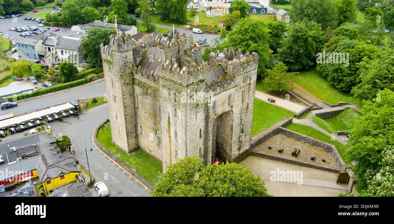 Liskenny FortFairy fort / earthen ringfort · 249 yd
 Knockmoyle FortEnclosure · 858 yd
 Lissofin Castle (in ruins)Castle, unclassified · 1634 yd
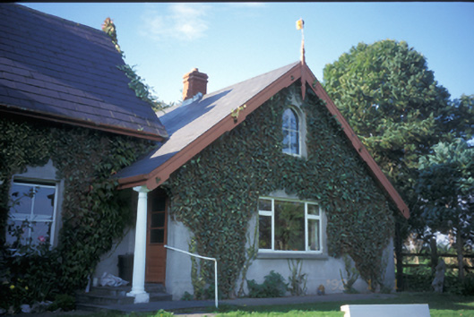 Spa Househouse · 1.1 mi
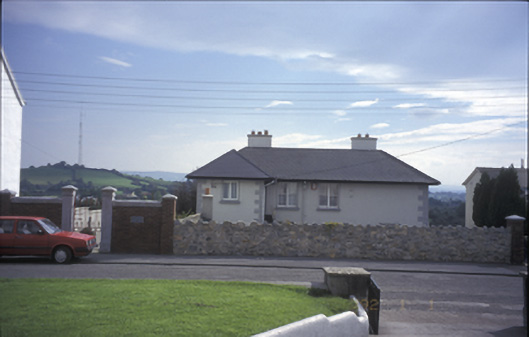 Tulla Househouse · 1.4 mi
 Tulla Castle (Site of)Castle, unclassified · 1.5 mi
 The StablesGallery · 1.5 mi
 Cloghleagh RockNamed rock · 1.9 mi
 The RingfortHeritage attraction · 2.9 mi
 Deerpark WoodForest · 4.8 mi
 Mass RockMemorial · 5.2 mi
 Calluragh WoodForest · 5.3 mi