
What is recorded here
Situated on top of high ground overlooking the Little Brosna River to the N and marshland to the NW. A well-preserved large circular area (diam. 60m E-W) enclosed by an earth and stone bank (Wth 4m; int. H 0.5m; ext. H 1m) with evidence of stone revetment along the inner face and an external fosse (Wth 3m) and outer bank visible from SE-S-W only. There is a well-preserved entrance gap (Wth 3m) at SE. Wall-footings of a field boundary bisect the interior on a N-S axis.
The above description is derived from 'The Archaeological Inventory of County Tipperary. Vol. 1 - North Tipperary' compiled by Jean Farrelly and Caimin O'Brien (Dublin: Stationery Office, 2002). In certain instances the entries have been revised and updated in the light of recent research.
Date of upload/revision: 22 September 2008
Lisheenramaher is a well-preserved early-medieval ringfort, likely dating to between the 6th and 10th centuries AD, characterized by a large circular enclosure with a diameter of approximately 60 meters. While no specific folklore is recorded for this site, like many such forts in Ireland, it may have been associated with local legends of fairies or ancient inhabitants, given the common cultural associations of raths with otherworldly beings.
The monument record does not grant public access. Check the route and ask the landowner before entering private land.
- What survives
- Recorded monument
Places near here
 LismaloonaFairy fort / earthen ringfort · 646 yd
 IndicatedEnclosure · 1472 yd
 Bonahum Church (in ruins)Church · 1.0 mi
 Cloghan CastleCastle, tower house · 1.5 mi
 Cregg WoodForest · 1.6 mi
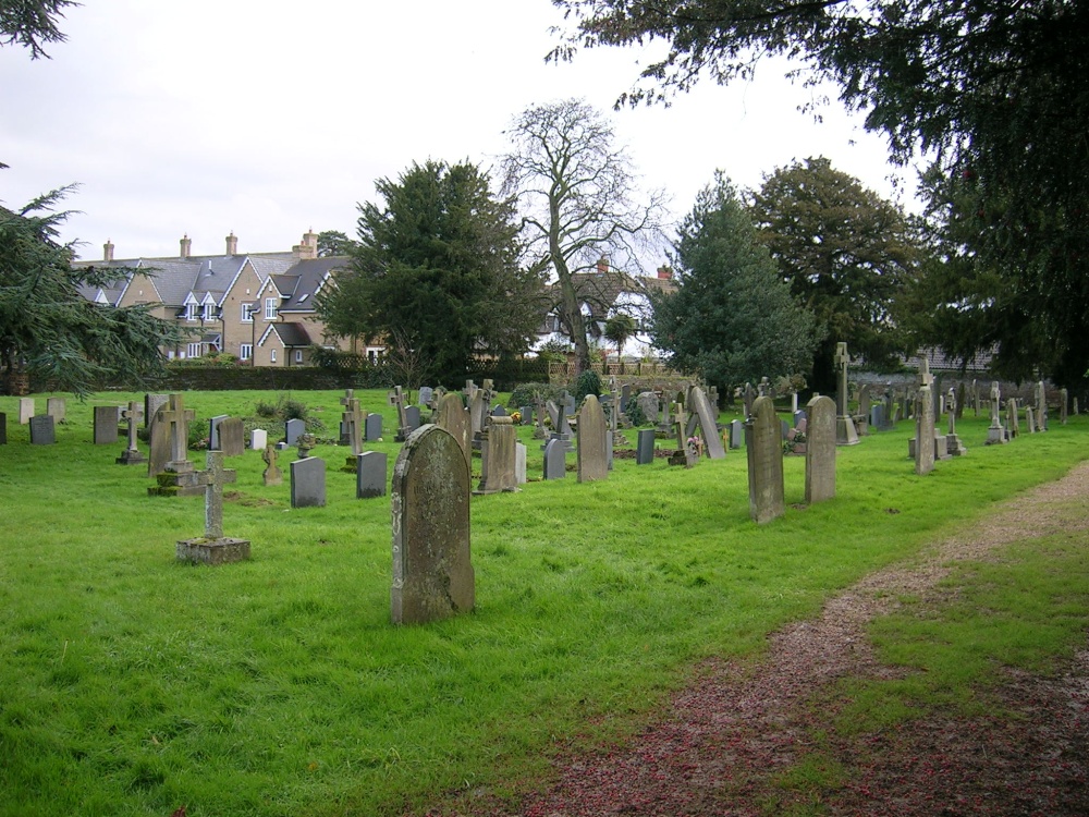 Church (in Ruins) Grave YardChurch · 1.8 mi
 Redwood CastleCastle · 2.1 mi
 Friars IslandIsland · 2.4 mi
 Killeen's IslandIsland · 2.7 mi
 MeelickVisitor information · 2.8 mi
 Lumcloon WoodWood · 4.1 mi
 All Saints' WellSpring · 4.2 mi
Other information
Photo: Credit not shown in the picture search · Rights wording not checked; contact us if this picture should be removed