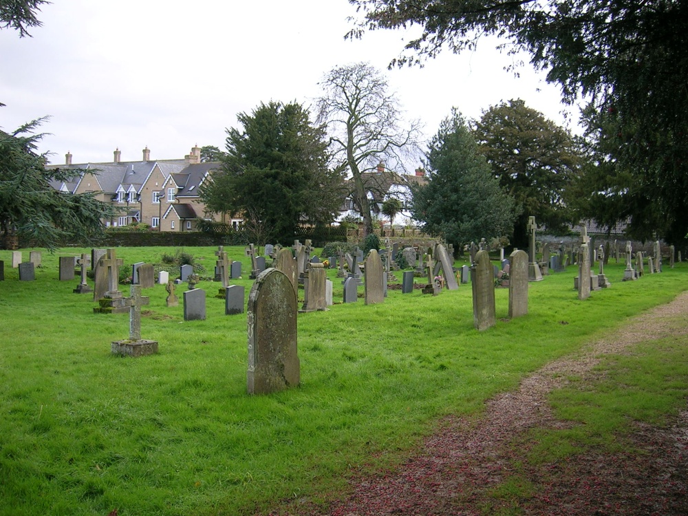
What is recorded here
Situated on an E-W esker ridge with low-lying flat land to the S and undulating land to the N. In graveyard (OF029-012001-), much ruined rectangular church (dims. 13.1m E-W; 7.1m N-S; wall T 0.75m) with its S wall destroyed except for the SE portion. No architectural features evident on the N or W walls with a destroyed window in the E gable. The E splay of a window survives at the E end of the S wall. Wall niche visible at the S end of the E wall. The original doorway was located at the W end of the destroyed S wall. Several headstones have been erected in the interior of the church. The church walls are constructed with roughly coursed limestone rubble with evidence of a base batter on E gable only, with additional buttressing on the NE corner. The graveyard is enclosed by an almost square shaped wall which has recently been extended to the S for new burials, the graveyard contains 18/19th-century headstones.
The above description is derived from the published 'Archaeological Inventory of County Offaly' (Dublin: Stationery Office, 1997). In certain instances the entries have been revised and updated in the light of recent research.
Date of upload: 23 May 2011
The monument record does not grant public access. Check the route and ask the landowner before entering private land.
- What survives
- Recorded monument
Places near here
 Burial ground in Newtown (garrycastle By.)Burial ground · 526 yd
 Burial mound in Glasshouse (clonlisk By.)Burial mound · 771 yd
 Site of Feddaun CastleCastle, unclassified · 1107 yd
 Cloghan CastleCastle, tower house · 1292 yd
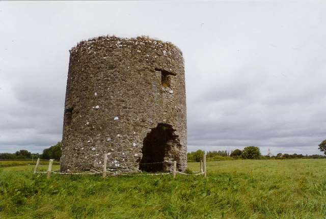 mill (wind)mill (wind) · 1414 yd
 Cregg WoodForest · 1623 yd
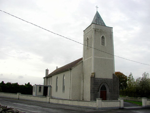 Saint Cronan's Catholic Churchchurch/chapel · 1.1 mi
 InchanacleaIsland · 2.2 mi
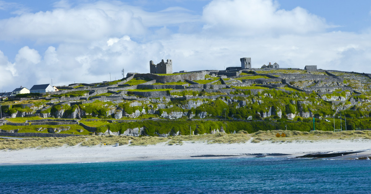 Seymours IslandsIsland · 2.7 mi
 Banagher MarinaHeritage attraction · 3.0 mi
 Woodville WoodWood · 5.6 mi
 Birr Castlemachinery · 5.8 mi
Other information
Photo: Credit not shown in the picture search · Rights wording not checked; contact us if this picture should be removed