What is recorded here
Lisheencappaheen is a fairy fort in County Limerick, a circular scarped ring barely half a metre high on a west-facing limestone slope. The north-west edge dips for seven metres, breaking the circle like a doorway or a wound. Cattle still walk the grass above it, unaware that the ground marks a place set apart for beings who do not belong to us.
In pasture, on W-facing slope below top of low limestone ridge. Circular area (27.5m N-S; 28m E-W) defined by scarped edge (H 0.4m; Wth 3.5m). Scarp dips at NW for c. 7m. Interior, under pasture, slopes down to N.
Compiled by: Denis Power
Date of upload: 26 August 2011
The monument record does not grant public access. Check the route and ask the landowner before entering private land.
- What survives
- Recorded monument
Places near here
 Lissamota CastleCastle · 1593 yd
 IndicatedFairy fort / earthen ringfort · 1752 yd
 Burial Gd. for ChildrenChildren's burial ground · 1.0 mi
 Flat cemetery in Kiltenan SouthFlat cemetery · 1.3 mi
 Kiln in Kiltenan SouthKiln · 1.4 mi
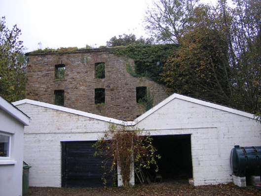 mill (water)mill (water) · 1.5 mi
 Castle (in ruins)Castle, tower house · 1.7 mi
 Famine stoneMemorial · 2.5 mi
 Kinnoor WellSpring · 2.8 mi
 KnockfeerinaMountain / peak · 2.9 mi
 Dysert AenghusaHeritage attraction · 4.4 mi
 GinkgoGinkgo · 4.6 mi