What is recorded here
Thirty-five metres of forgotten ring cuts through Galway grassland, its southern edge erased by a modern road while the northern bank still shadows the bog. The fort has surrendered most of its shape to time and traffic, leaving only a curved scar and a faint ditch to mark where human hands once held the landscape steady. What remains is less a building than a suggestion, a circular breath caught in the terrain, waiting for someone to remember the shape it lost.
In undulating grassland overlooking bogland to the N. Very poorly preserved circular rath (diam. 35m) defined by a tree-lined bank from S through W to NW and elsewhere by a scarp. An external fosse is visible from NNW through N to SE. Gaps in the bank at WSW and W appear to be modern. A road cuts through the monument at SE and SW and no visible surface trace survives to the S of it.
Compiled by: Galway Archaeological Survey, UCG
Date of upload: 27 February 2018
The monument record does not grant public access. Check the route and ask the landowner before entering private land.
- What survives
- Recorded monument
Places near here
 LisnapeakFairy fort / earthen ringfort · 694 yd
 Moorfield Househouse · 947 yd
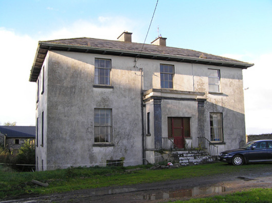 Stowlin Househouse · 1269 yd
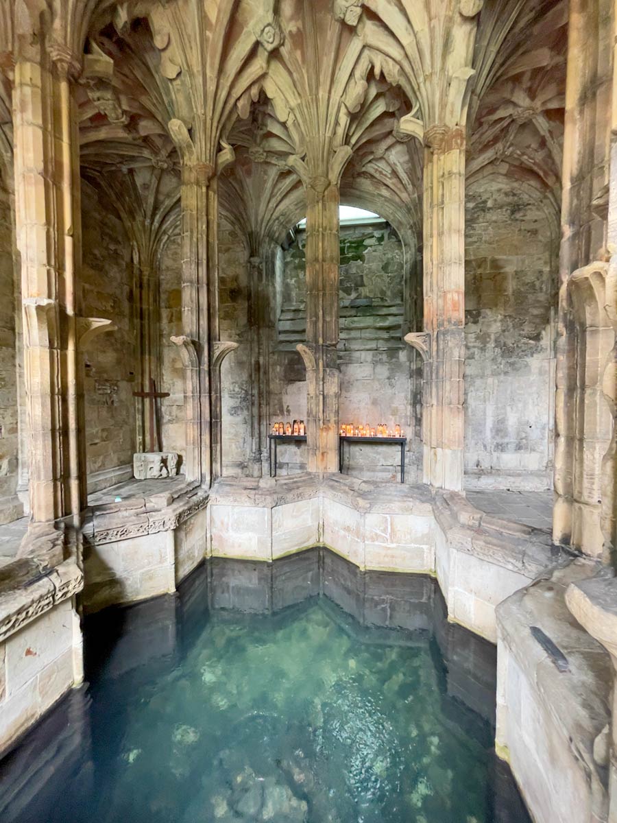 Ecclesiastical enclosure in StowlinEcclesiastical enclosure · 1751 yd
 Longford Castle (in ruins)Castle, unclassified · 2.4 mi
 Ballymore CastleCastle, tower house · 2.9 mi
 Silver FirSilver Fir · 2.9 mi
 Redmond HillMountain / peak · 3.3 mi
 Ballymacegan IslandIsland · 3.9 mi
 European YewEuropean Yew · 4.3 mi
 Long IslandIsland · 4.6 mi
 The bloody HollowHeritage attraction · 8.3 mi