
What is recorded here
In SE corner of broadleaf nursery, on level ground. Not seen as area obscured by tall mound of earth associated with broadleaf nursery. Stream skirts area of monument to E and S. Earthen and mature tree field boundary flanks stream and has same characteristics further to N and to W and does not form part of the monument. Moated site (TS068-109----) c. 140m to S.
Compiled by: Jean Farrelly
Date of upload: 26 August 2011
A local fairy fort (ringfort/rath); wider significance not recorded.
The monument record does not grant public access. Check the route and ask the landowner before entering private land.
- What survives
- Recorded monument
Places near here
 Enclosure in KnockgraffonEnclosure · 818 yd
 Ecclesiastical enclosure in MasterstownEcclesiastical enclosure · 1160 yd
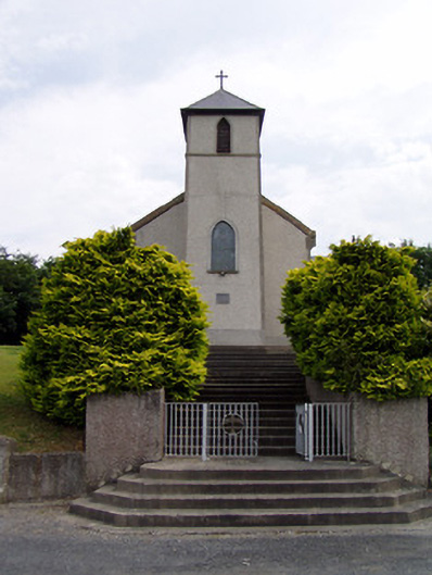 Saint Bartholomew's Catholic Churchchurch/chapel · 1691 yd
 Hymenstown Househouse · 1745 yd
 Bawn in GarranleaBawn · 1.2 mi
 Knockgraffon CastleCastle · 1.2 mi
 Caucasian zelkovaCaucasian zelkova · 3.2 mi
 Caher AbbeyHeritage attraction · 3.8 mi
 Cappa WoodWood · 3.9 mi
 Athassel PrioryHeritage attraction · 3.9 mi
 Siege of Cahir Castlesiege · 4.0 mi
 Slieveanard NE TopMountain / peak · 4.2 mi
Other information
Photo: Credit not shown in the picture search · Rights wording not checked; contact us if this picture should be removed