
What is recorded here
In pasture, on N-facing slope. No visible surface trace of monument. Visible on 1905 OS 6-inch map as pen-anular c. 30m NE-SW; c. 26m NW-SE) open to SE. Rinfgort (TS068-102----) and hut site (TS068-17 NEW) are c. 160m to WSW and ringfort (TS068-108----) c. 120m to SE.
Compiled by: Jean Farrelly
Date of upload: 26 August 2011
The monument record does not grant public access. Check the route and ask the landowner before entering private land.
- What survives
- Recorded monument
Places near here
 LisheenEnclosure · 818 yd
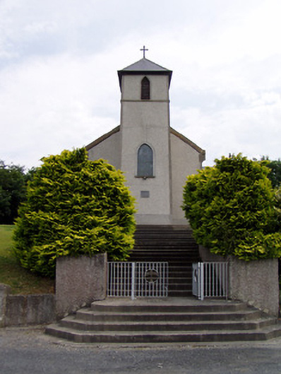 Saint Bartholomew's Catholic Churchchurch/chapel · 900 yd
 Ecclesiastical enclosure in MasterstownEcclesiastical enclosure · 1431 yd
 Hymenstown Househouse · 1513 yd
 Knockgraffon CastleCastle · 1605 yd
 Knockgraffon MoatCastle, motte and bailey · 1.2 mi
 Caucasian zelkovaCaucasian zelkova · 2.7 mi
 Cappa WoodWood · 3.5 mi
 Caher AbbeyHeritage attraction · 3.5 mi
 Siege of Cahir Castlesiege · 3.7 mi
 Slieveanard NE TopMountain / peak · 3.8 miCahir CastleHeritage attraction · 3.9 mi
Other information
Photo: Credit not shown in the picture search · Rights wording not checked; contact us if this picture should be removed