What is recorded here
Situated on flat pasture in an upland area with a stone pair (TN019-041----) c. 42m to the SE and rock outcrop decorated with cup-marks (TN019-053----) 20m to the S. A well-preserved steep-sided flat-topped mound (H 3.5-4m; top diam. 11.5m N-S; base diam. 19m N-S) enclosed by wide flat-bottomed fosse (Wth 5m; ext. D 1m) with small orthostats protruding from the base of the fosse at E and S - probably natural rock outcrop. The base of the mound has been scarped and a water pump inserted into the fosse at E.
The above description is derived from 'The Archaeological Inventory of County Tipperary. Vol. 1 - North Tipperary' compiled by Jean Farrelly and Caimin O'Brien (Dublin: Stationery Office, 2002). In certain instances the entries have been revised and updated in the light of recent research.
Date of upload/revision: 12 March 2014
A Neolithic passage tomb, dating to the 4th–3rd millennium BCE. Its location near cup-marked outcrops and other megalithic features suggests it is part of a wider ceremonial landscape.
The monument record does not grant public access. Check the route and ask the landowner before entering private land.
- What survives
- Recorded monument
Places near here
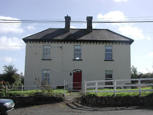 Dower HouseRIC barracks · 482 yd
 Enclosure in Curragh (castletownarra Par.)Enclosure · 540 yd
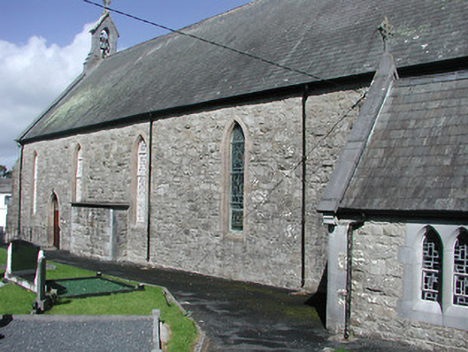 Catholic Church of the Blessed Virgin Marychurch/chapel · 576 yd
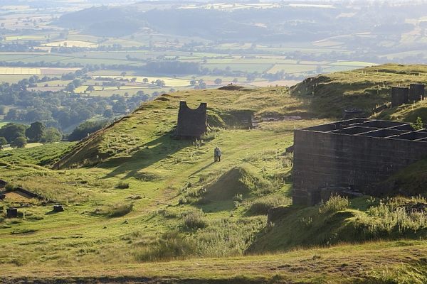 Enclosure in LisheenbrienEnclosure · 578 yd
 Giant's GraveArchaeological place · 1.3 mi
 CastleCastle, unclassified · 1.4 mi
 Corbally HillMountain / peak · 1.6 mi
 Castle in ruinsCastle, unclassified · 1.6 mi
 Mass RockNamed rock · 1.7 mi
 Saint Patrick's RockNamed rock · 1.8 mi
 CopperminesCave · 1.8 mi
 Garrykennedy ForestWood · 1.8 mi