What is recorded here
On a SW-facing slope in pastureland, overlooking marshland to the SW. Classified by McCaffrey (1952, 139, no. 32) as a circular ‘Earthen fort’ (diam. c. 51.8m) cut by a field wall from E to W; the ‘entire northern portion’ of it had been 'destroyed' but traces of the levelled bank were visible in the field to the N of the bisecting wall. No visible surface trace survives. (Athy 1914, 134)
Compiled by: Galway Archaeological Survey, UCG
Date of upload: 14 December 2017
The monument record does not grant public access. Check the route and ask the landowner before entering private land.
- What survives
- Recorded monument
Places near here
 ToberroeHoly well · 315 yd
 TobersruhlinHoly well · 401 yd
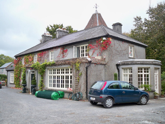 Rockhill Househouse · 716 yd
 Rocklandshouse · 1019 yd
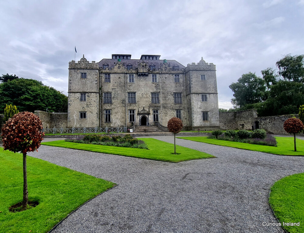 Moneyduff Castle (Site of)Castle, unclassified · 1169 yd
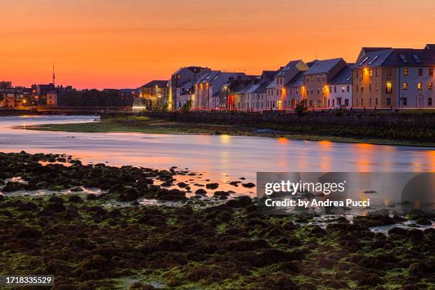 Bawn in Cregganna MoreBawn · 1.0 mi
 Loughaun WoodWood · 2.1 mi
 North WoodWood · 2.2 mi
 Leadmine HillMountain / peak · 2.9 mi
 Drumacoo Monastic SiteHeritage attraction · 3.8 mi
 MweenisharanIslet · 3.9 mi
 Rabbit IslandIslet · 4.1 mi