What is recorded here
Lisglass was a circular earthen fort nearly fifty-two metres across, sitting on a southwest-facing slope above Galway marshland before a field wall sliced through its heart and ploughing erased the rest. It is gone now except in measurement and memory, yet the land still holds the shape of what stood there: a ring of soil built by human hands, cut open by human hands again.
On a SW-facing slope in pastureland, overlooking marshland to the SW. Classified by McCaffrey (1952, 139, no. 32) as a circular ‘Earthen fort’ (diam. c. 51.8m) cut by a field wall from E to W; the ‘entire northern portion’ of it had been 'destroyed' but traces of the levelled bank were visible in the field to the N of the bisecting wall. No visible surface trace survives. (Athy 1914, 134)
Compiled by: Galway Archaeological Survey, UCG
Date of upload: 14 December 2017
The monument record does not grant public access. Check the route and ask the landowner before entering private land.
- What survives
- Recorded monument
Places near here
 ToberroeHoly well · 315 yd
 TobersruhlinHoly well · 401 yd
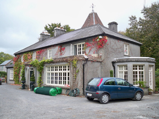 Rockhill Househouse · 716 yd
 Rocklandshouse · 1019 yd
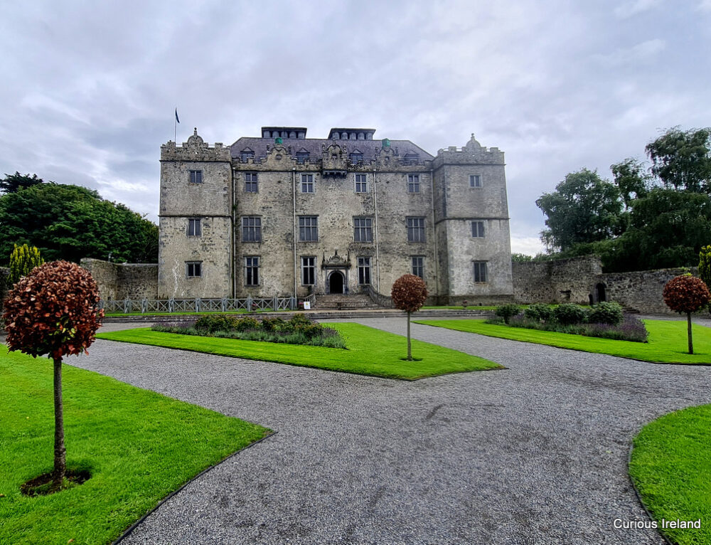 Moneyduff Castle (Site of)Castle, unclassified · 1169 yd
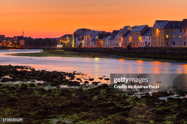 Bawn in Cregganna MoreBawn · 1.0 mi
 Loughaun WoodWood · 2.1 mi
 North WoodWood · 2.2 mi
 Leadmine HillMountain / peak · 2.9 mi
 Drumacoo Monastic SiteHeritage attraction · 3.8 mi
 MweenisharanIslet · 3.9 mi
 Rabbit IslandIslet · 4.1 mi