What is recorded here
In undulating elevated pasture, on a slight NNW-facing slope. There are excellent views N-SE though views are moderate to poor in other directions. A slightly raised circular area (diam. 22m) defined by a fosse (Wth 2m; D 0.3m) and an external bank (Wth 2m; int. H 1m; ext. H 0.8m). The bank has internal and external stone revetments. In the centre of the interior is a slightly raised circular platform (diam. 6m; H 0.4m) defined by a low bank or sod-covered stone foundations (Wth 0.4m). Extending from it to the inner edge of the fosse at W and N are two linear earthen banks (Wth 1m; H 0.4m; L c. 9m), that to N marked by a boulder at its S terminus. At NNW is a small earthen mound (4m E-W; H 1m), partially incorporated into the enclosing bank but projecting 1.5m from its external face. A N-S field boundary lies immediately to W.
The above description is derived from the published 'Archaeological Inventory of County Sligo' compiled by Ursula Egan, Elizabeth Byrne, Mary Sleeman with Sheila Ronan and Connie Murphy (Dublin Stationery Office, 2005).
Date of upload: 18 January 2008
A Neolithic passage tomb; dates to the 4th–3rd millennium BCE. Its location suggests it was part of a wider ritual landscape, possibly aligned with significant topographic or celestial features.
The monument record does not grant public access. Check the route and ask the landowner before entering private land.
- What survives
- Recorded monument
Places near here
 LisglassArchaeological place · 2 yd
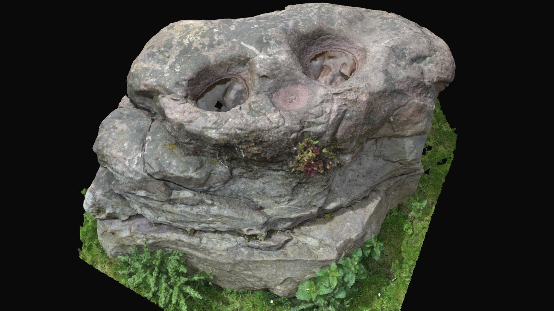 Enclosure in BullaunEnclosure · 343 yd
 Barroe NorthMountain / peak · 874 yd
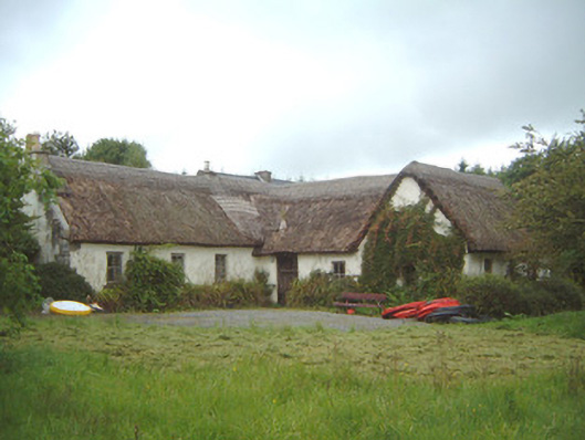 Nasool Cottagehouse · 1.2 mi
 Shancough Church (in Ruins)Church · 1.2 mi
 Ballindoon Castle (in Ruins)Castle, unclassified · 1.4 mi
 InishmoreIslet · 2.0 mi
 Geevagh Prisoners 1908 MemorialMemorial · 2.0 mi
 TumulusCastle, motte · 2.1 mi
 Annaghgowla IslandIslet · 2.2 mi
 Loughbrick BayBay · 2.4 mi
 Carrane HillCliff · 3.7 mi