What is recorded here
Lisfea is a subcircular fairy fort in County Galway, measuring thirty-two metres north to south and thirty metres east to west. Its shallow external fosse still marks the western edge, though quarrying and roadworks have scarred the eastern bank. The nearby ringfort suggests a settled landscape rather than a empty field, yet the damaged earth keeps its own secret.
In undulating grassland. Subcircular rath (N-S 32m, E-W 30m), in fair condition, defined by a bank and shallow external fosse; the latter survives from SW through W to N. A roadway cuts the monument at NE and SE, to E of which no visible surface trace survives. Quarrying has disturbed the enclosing elements from N to NE. A ringfort (GA087-098----) lies c. 150m to NE.
The above description is derived from the published 'Archaeological Inventory of County Galway Vol. II - North Galway'. Compiled by Olive Alcock, Kathy de hÓra and Paul Gosling (Dublin: Stationery Office, 1999).
Date of upload: 05 August 2010
The monument record does not grant public access. Check the route and ask the landowner before entering private land.
- What survives
- Recorded monument
Places near here
 LisleaArchaeological place · 10 yd
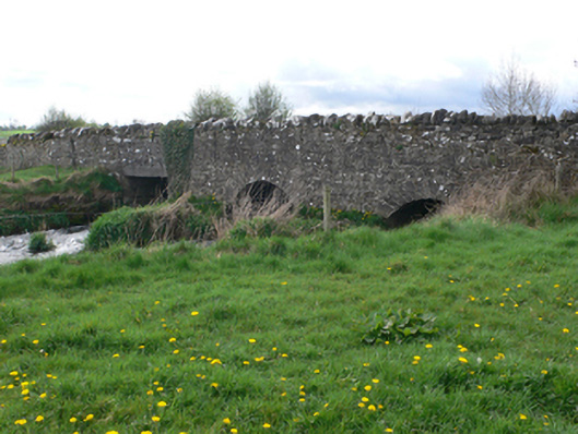 Ballinure Bridgebridge · 1027 yd
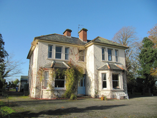 Garryduff Househouse · 1299 yd
 Enclosure in TempleparkEnclosure · 1423 yd
 Ballagh Castle (in Ruins)Castle, unclassified · 1.0 mi
 Urraghry HillMountain / peak · 1.6 mi
 The bloody HollowHeritage attraction · 2.3 mi
 West WoodWood · 2.4 mi
 European BeechEuropean Beech · 2.4 mi
 Battle of AughrimMajor battlefield · 2.6 mi
 Ardcarn IslandsIslet · 2.9 mi
 Castle (Site of)Castle, Anglo-Norman masonry castle · 3.0 mi