What is recorded here
In pasture, on a S-facing slope, immediately N of the Killarney-Killorglin road (T67) and overlooking the valley of the Laune River. The rath is indicated on the 1846 and 1895 OS 6-inch maps as a circular enclosure (diam. c. 40m) abutted by the road. Only the N half of the rath remains and consists of an arc (C 42m) of a low rise (Wth 4.45m; int. H 0.65m; ext. H 0.8m) W-E. The interior slopes down to the S. Road widening in 1994, resulted in the excavation of the S half of the rath and provided evidence that it may have been bivallate (Connolly 1995, 45-6). The excavation revealed that the inner bank 'was constructed using a stone core which was then covered with earth' and that it contained a subcircular round-bottomed pit (0.58m x 0.6m; D 0.2m), filled with charcoal, burnt soil, iron slag and fused stone, at a depth of 0.4m from the top (ibid., 46). A partially infilled flat-bottomed fosse (Wth 1.9m; max. D 2.2m) was also found and an earthen boundary (Wth 3.2m; int. H 0.6m; ext. H 1.15m), with a stone core, located between the road and the rath was identified as a possible outer bank (ibid., 45). No habitation layer was found within the interior and the only finds were modern pottery and one fragment of a clay pipe (Connolly 1995, 46).
Compiled by: Elizabeth Byrne, Ursula Egan and Sheila Ronan, Archaeological Survey Unit, University College, Cork.
Date of upload: 31 January 2011
The monument record does not grant public access. Check the route and ask the landowner before entering private land.
- What survives
- Recorded monument
Places near here
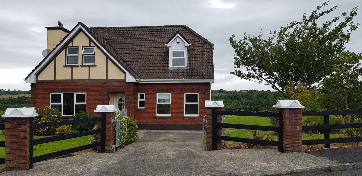 LissaphucaFairy fort / earthen ringfort · 521 yd
 KilnKiln, corn-drying · 597 yd
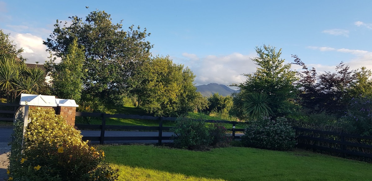 Man-made underground passage in BeaufortMan-made underground passage · 680 yd
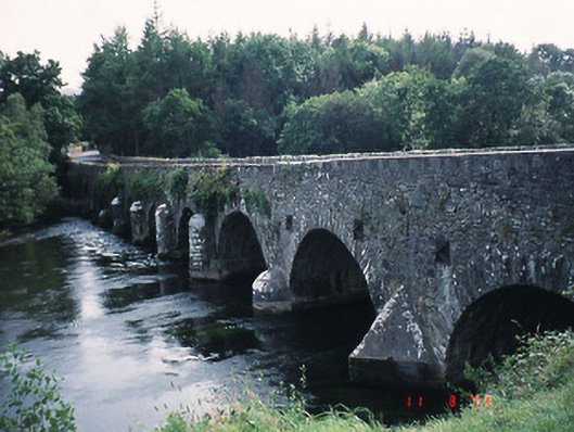 Beaufort Bridgebridge · 966 yd
 CastleCastle, tower house · 1133 yd
 Pallis Castle (Site of)Castle, tower house · 1396 yd
 Dunloe Ogham StonesHeritage attraction · 1.1 mi
 Japanese pagoda treeJapanese pagoda tree · 1.2 mi
 European YewEuropean Yew · 1.2 mi
 The Kerry Creamery ExperienceHeritage attraction · 2.9 mi
 Tomies Mountain North TopMountain / peak · 3.4 mi
 Rabbit or Brown IslandIslet · 3.6 mi