What is recorded here
Situated on top of a drumlin. This is an overgrown circular area (diam. 37m N-S) defined by a scarp (H 1m), and a slight external fosse or drain (Wth 1m; D 0.2m) at SE. The entrance (Wth 3-4m) at SW is probably modern. Moore (Dublin: Stationery Office, 2003).
From the National Monuments Service (Archaeological Survey of Ireland) record LE018-001
The monument record does not grant public access. Check the route and ask the landowner before entering private land.
- What survives
- Recorded monument
Places near here
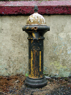 water pump1113 yd
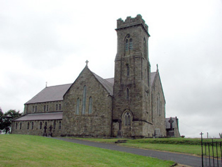 Saint Brigid's Catholic ChurchChurch/chapel · 1187 yd
 Black Poplar3.1 mi
 European ash3.1 mi
 Scardan WaterfallWaterfall · 3.6 mi
 TobermurvyHoly well · 6.0 mi
 TobermurrySpring · 6.0 mi
 Lough AllenLarge freshwater lake · 6.5 mi
 BenboMountain / peak · 8.3 mi
 Grave YardGraveyard · 8.7 mi
 Sliabh an IarainnMountain / peak · 9.1 mi
 Trawane BayBay · 9.8 mi
Pictures: National Inventory of Architectural Heritage; Kenraiz, Wikimedia Commons · CC BY-SA 3.0; Willow, Wikimedia Commons · CC BY 2.5; Oliver Dixon, Geograph · CC BY-SA 2.0; Kenneth Allen, Wikimedia Commons · CC BY-SA 2.0; Andreas F. Borchert, Wikimedia Commons · CC BY-SA 4.0; Richard Webb, Wikimedia Commons · CC BY-SA 2.0; Willie Duffin, Geograph · Creative Commons Attribution-ShareAlike 2.0; Pampuco, Wikimedia Commons · CC BY-SA 4.0
More archaeology and monuments in County Leitrim · All of County Leitrim
What do you know about this place?