
What is recorded here
Situated on a slight rise of ground in an elevated position with extensive views of the surrounding countryside. Depicted as 'Gabunaham' on the 1st ed. OS 6-inch map. Modern farm buildings appear to be situated on the site of the ringfort. Not visible at ground level.
The above description is derived from 'The Archaeological Inventory of County Tipperary. Vol. 1 - North Tipperary' compiled by Jean Farrelly and Caimin O'Brien (Dublin: Stationery Office, 2002). In certain instances the entries have been revised and updated in the light of recent research.
Date of upload/revision: 22 September 2008
The monument record does not grant public access. Check the route and ask the landowner before entering private land.
- What survives
- Recorded monument
Places near here
 Bonahum Church (in ruins)Church · 350 yd
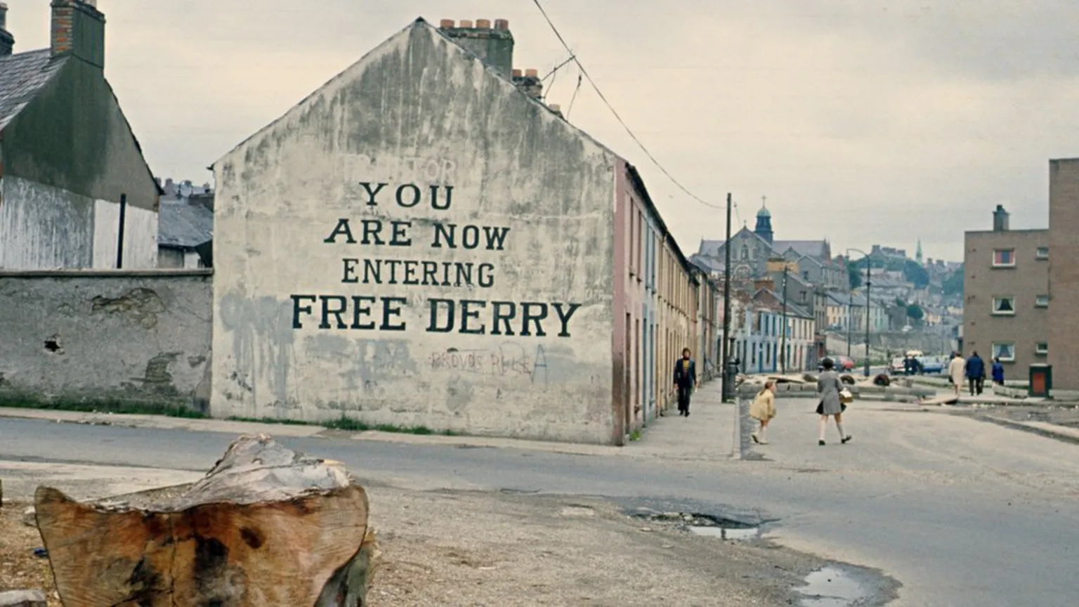 Site of Derry Ho.House, 17th century · 834 yd
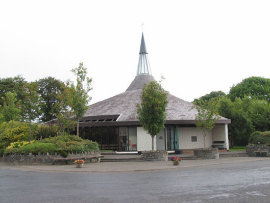 Catholic Church of Our Lady Queen of Irelandchurch/chapel · 1376 yd
 LismaloonaFairy fort / earthen ringfort · 1529 yd
 Site of Pallas CastleCastle, unclassified · 1.8 mi
 Cloghan CastleCastle, tower house · 2.5 mi
 Cregg WoodForest · 2.7 mi
 Lumcloon WoodWood · 2.9 mi
 Friars IslandIsland · 3.6 mi
 Killeen's IslandIsland · 3.9 mi
 MeelickVisitor information · 4.0 mi
 All Saints' WellSpring · 4.2 mi
Other information
Photo: Credit not shown in the picture search · Rights wording not checked; contact us if this picture should be removed