
What is recorded here
From the National Monuments Service (Archaeological Survey of Ireland) record MA030-069
Places near here
Photo credits
- Maker not stated on source page, www.alamy.com
- National Inventory of Architectural Heritage
- Maker not stated on source page, global-geography.org
- David Farrell Photography / Western People, www.westernpeople.ie
- Mike Searle, Wikimedia Commons · CC BY-SA 2.0
- Maker not stated on source page, www.pinterest.com
- Connaught Telegraph; photographer not named, www.con-telegraph.ie
- Maker not stated on source page, www.dreamstime.com
- Maker not stated on source page, uk.pinterest.com
- Pamela Norrington, Geograph · CC BY-SA 2.0
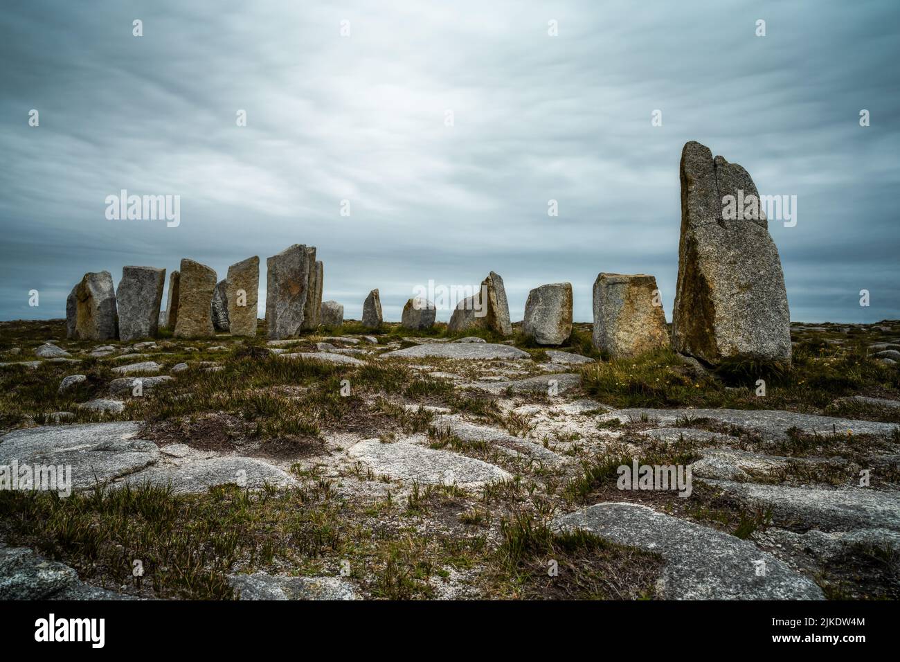 Megalithic structure in Gorteen (tirawley By.)Megalithic structure · 1725 yd
Explorer Tom Megalithic structure in Gorteen was designed by a mother-in-law who wanted to make sure you couldn't sit comfortably.…
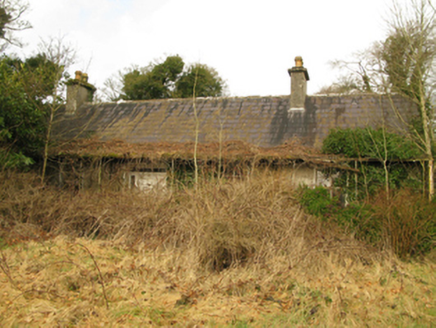 Coolcran CottageFarm house · 1.2 mi
Explorer Tom Coolcran Cottage in Mayo is dilapidated enough to make your heart skip a beat, but it’s still standing tall. It’s got…
 Megalithic structure in GarrycloonaghMegalithic structure · 1.3 mi
Explorer Tom Megalithic structure in Garrycloonagh would bring its own split boulder to a party because it’s too proud to rent. The…
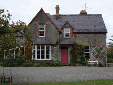 KnocksbarrettHouse · 1.3 mi
Explorer Tom Knocksbarrett in Ballina is a Gothic fantasy that probably drank too much tea during construction. It has more angles…
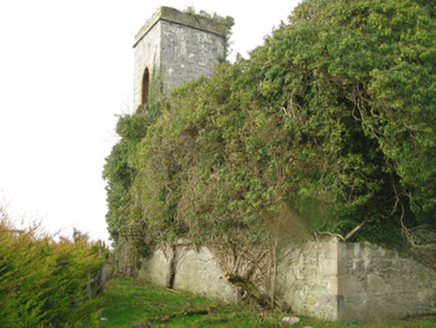 Castle GoreChurch/chapel · 1.5 mi
Explorer Tom Castle Gore in Drummindoo [Tira. By.], County Mayo is in a constant feud with the rain, which always wins. The shell of…
 James Stephens Park, James Stephens Hurling ClubGAA ground · 1.8 mi
 Deel CastleCastle · 2.1 mi
Explorer Tom Deel Castle claims it smuggled moonshine in barrels back in the day, but I suspect it just hid its own bad breath. It’s…
 Inishlee IslandIslet · 2.3 mi
Explorer Tom Inishlee Island refuses to fall down because it’s too stubborn to admit it’s tired. It thinks gravity is just a…
 Ardagh, Ardagh GAAGAA ground · 2.5 mi
 Jesus and Mary CemeteryCemetery · 4.0 mi
Explorer Tom Jesus and Mary Cemetery in County Mayo was taken over by a fox who decided it was the perfect spot for a nap. The…
 CastleCastle, unclassified · 4.1 mi
Explorer Tom Castle (Site of) in Knockglass is an 18th-century house pretending to be something cooler. Someone wrote a bad poem…
 Titanic Memorial ParkMemorial · 6.8 mi
Explorer Tom Titanic Memorial Park: Imagine the Titanic ordering chips here; I reckon it would go for the extra thick, salted ones…
More archaeology and monuments in County Mayo · All of County Mayo

What do you know about this place?Tap to add a comment or ask a question