What is recorded here
In undulating grassland. This Nat. Mon. comprises a subcircular overgrown rath (N-S c. 48m, E-W c. 45m), in fair condition, defined by two banks and an intervening fosse. The fosse and outer bank are present from E through S to N, and a field bank overlies the outer bank from SW through W to N. A gap (Wth 5.5m) at E could be original. (Harbison 1975, 88)
The above description is derived from the published 'Archaeological Inventory of County Galway Vol. II - North Galway'. Compiled by Olive Alcock, Kathy de hÓra and Paul Gosling (Dublin: Stationery Office, 1999). In certain instances the entries have been revised and updated in the light of recent research.
Updated by: Olive Alcock
Date of revised upload: 18 August 2017
The monument was taken into Ownership under the National Monuments Acts 1930 to 2014 - National Monument 371.
Lisbeg, Attidermot is a subcircular ringfort, likely dating to the early medieval period, characterized by two banks and a central fosse. Local tradition associates such sites with fairy lore, and they were often considered sacred or inhabited by supernatural beings in Irish folklore.
The monument record does not grant public access. Check the route and ask the landowner before entering private land.
- What survives
- Recorded monument
Places near here
 Battle of AughrimMajor battlefield · 174 yd
 Gerneral St. Ruths or Aughrim FortFairy fort / earthen ringfort · 364 yd
 The bloody HollowHeritage attraction · 517 yd
 IndicatedFairy fort / earthen ringfort · 633 yd
 Battle of Aughrim Interpretative CentreMuseum · 1204 yd
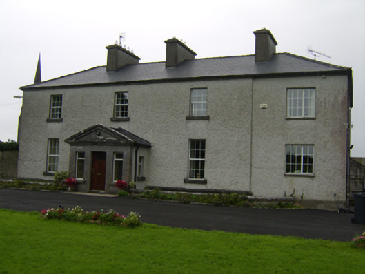 The Rectoryrectory/glebe/vicarage/curate's house · 1240 yd
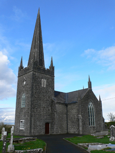 Holy Trinity Church (Aughrim)church/chapel · 1298 yd
 Castle (Site of)Castle, Anglo-Norman masonry castle · 1502 yd
 Urraghry HillMountain / peak · 1.4 mi
 Oak WoodWood · 1.6 mi
 Ballagh Castle (in Ruins)Castle, unclassified · 2.1 mi
 West WoodWood · 2.6 mi