What is recorded here
Depicted as a D-shaped embanked enclosure or small field (dims. c. 60m E-W; c. 55m N-S) on the 1840 and 1927 eds of the OS 6-inch map where it is named as 'Lisaraharna' and 'Lios na Cheatharnaigh' respectively. Situated in pasture on a SE-facing slope. Field banks at E and S, with a natural scarp down to the interior at W, form the enclosing element.
The above description is derived from the published 'Archaeological Inventory of County Waterford' (Dublin: Stationery Office, 1999). In certain instances the entries have been revised and updated in the light of recent research.
Compiled by: Michael Moore
Date of upload/revision: 19 January 2012
Lisaraharna, Knockacaharna is a likely early-medieval ringfort, indicated by its D-shaped embanked enclosure visible on historic Ordnance Survey maps. The name "Lios na Cheatharnaigh" (Gaelic for "Fort of the Hares") suggests a possible folklore connection to supernatural or otherworldly beings, commonly associated with fairy forts in Irish tradition.
The monument record does not grant public access. Check the route and ask the landowner before entering private land.
- What survives
- Recorded monument
Places near here
 LispowerEnclosure · 906 yd
 Embanked enclosureFairy fort / earthen ringfort · 1045 yd
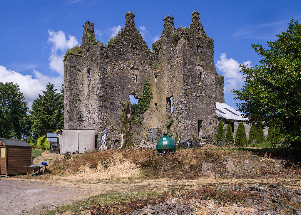 Sleady Castle (in ruins)House, 17th century · 1.1 mi
 Church in Knockboy (decies Without Drum By., Seskinan Par.)Church · 1.7 mi
 Black HillMountain / peak · 2.9 mi
 Standing StoneMemorial · 3.5 mi
 Abbey (in ruins)Castle, tower house · 3.8 mi
 CrohaunMountain / peak · 4.4 mi
 Master McGrathMemorial · 4.4 mi
 Castle (in ruins)Castle, tower house · 4.6 mi
 Kilgreany CaveCave · 5.1 mi
 Horse-chestnutHorse-chestnut · 6.0 mi