
What is recorded here
Linlithgow Marches Perambulation route is a walking route in West Lothian, Scotland.
Places near here
Photo credits
- Maker not stated on source page, www.dreamstime.com
- Robert Murray, Wikimedia Commons · CC BY-SA 2.0
- Ian Murfitt, Wikimedia Commons · CC BY-SA 2.0
- Richard Sutcliffe, Wikimedia Commons · CC BY-SA 2.0
- Philip Halling, Wikimedia Commons · CC BY-SA 2.0
- Stevie Spiers, Wikimedia Commons · CC BY-SA 2.0
- Brian Deegan, Wikimedia Commons · CC BY-SA 2.0
- Graham Hogg, Wikimedia Commons · CC BY-SA 2.0
- Richard Webb, Wikimedia Commons · CC BY-SA 2.0
- Mmt at English Wikipedia, Wikimedia Commons · Public domain
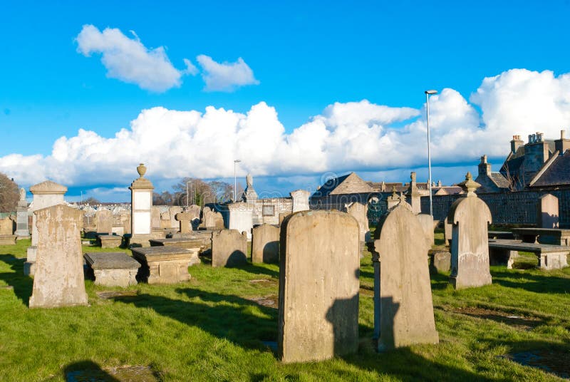 Mapped cemeteryCemetery · 155 yd
 Linlithgow, St Michael's ChurchBurial Ground (15th Century), Burial Vault (17th Century), Church (15th Century) (1425), War Memorial (20th Century) · 183 yd
 Linlithgow Palace, GatewayGatehouse (16th Century), Gateway (16th Century) · 210 yd
 Linlithgow Palace, LodgeGate Lodge (19th Century) · 232 yd
 Linlithgow, Linlithgow PalacePalace (medieval) · 245 yd
Explorer Tom Linlithgow Palace sits beside its loch like a royal house that has lost the roof but kept every intention of impressing…
 Linlithgow PalaceNo Class (event) · 250 yd
 Mary Queen of Scots StatueStatue · 255 yd
 Linlithgow, Linlithgow Palace, FountainFountain (16th Century) · 260 yd
 The RickleIslet · 496 yd
 Linlithgow, High StreetPot(s) (medieval) · 581 yd
 Linthgow, Braehead Road, CemeteryCemetery (19th Century) · 1151 yd
 John Muir WayWalking route · 1.0 mi
More walking routes in West Lothian · All of West Lothian

What do you know about this place?Tap to add a comment or ask a question