What is recorded here
Situated on a broad NE-SW ridge and c. 700m E of the east end of one of the longest surviving portions of the Black Pig’s Dyke (MO021-011----) and c. 250m S of the hilltop enclosure (MO022-005----). A small portion of a defaced earthen bank and ditch aligned N-S (L c. 100m) was considered locally to be part of the linear earthwork.
Revised by: Michael Moore
Date of revised upload: 20 June 2018
The monument record does not grant public access. Check the route and ask the landowner before entering private land.
- What survives
- Recorded monument
Places near here
 Hilltop enclosure in MagherashaghryHilltop enclosure · 256 yd
 Enclosure in Corrinshigo (cremorne By)Enclosure · 694 yd
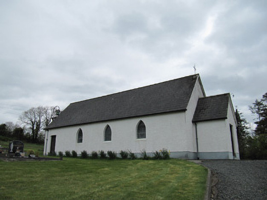 Corrinshigo Catholic Churchchurch/chapel · 1096 yd
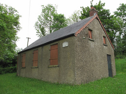 Corragarry Orange HallOrange Hall · 1399 yd
 BarraghMountain / peak · 1.4 mi
 CortoberMountain / peak · 2.5 mi
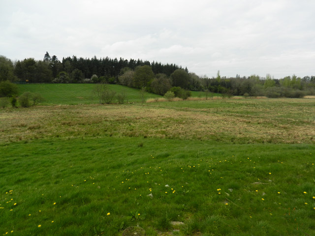 Carn WoodForest · 2.6 mi
 Whitelough PlantationsForest · 2.8 mi
 Bawn in DrumsheilBawn · 2.8 mi
 Site of Old CastleCastle, unclassified · 4.0 mi
 Giant's GraveArchaeological place · 4.0 mi
 Saint John's WellSpring · 5.0 mi