DDiscover AloneMapAbout

Linear earthwork in Magheracar

Linear earthwork
Linear earthwork in Magheracar
Representative picture, exact place not confirmed
Photo: Maker not stated on source page, commons.wikimedia.org · Report the wrong picture

The monument record does not grant public access. Check the route and ask the landowner before entering private land.

What do you know about this place?Tap to add a comment or ask a question

What you write will be public.

What is recorded here

A total of 19 archaeological test trenches were excavated under licence no. 03E1013 on a linear earthwork in advance of the N15 Bundoran-Ballyshannon By-Pass. The linear earthwork survived in 5 sections extending for a total distance of 355m over boggy pasture adjacent to the Sruhanafulla Stream which runs just to the…

Read the whole record
A total of 19 archaeological test trenches were excavated under licence no. 03E1013 on a linear earthwork in advance of the N15 Bundoran-Ballyshannon By-Pass. The linear earthwork survived in 5 sections extending for a total distance of 355m over boggy pasture adjacent to the Sruhanafulla Stream which runs just to the south. This feature was identified during the EIS stage of the development. Just over 200m of the earthwork lies within the embankment area of the proposed development. 4 of the 19 trenches revealed the presence of the linear ditch which varied in size and preservation from 2.3m to 5m wide. No datable artefacts were recovered from the linear earthwork and its associated ditches. It has been suggest by Kane that this linear earthwork formed part of the Black Pigs Dyke. This lienar earthwork was described in 1909 by the Reverend Canon Naylor of the parish of Finner where he records that 'The rampart is of course fragmentary. From the Bundrowes it comes right across the road which passes my house (townland of Magheracar) it then turns a few yards north of, and parallel to Strahanafulla (streamlet of Blood), the brook which tradition decalres was formerly the boundary of ulster. Running east of it, through the townlands of Drumachrin, rathmore and rathglas it goes into County Leitrim (townland of Boynagh) makling for Loch Melvin. You will of course understand that it only crops up here in short length or traces'. Kane goes on to state that 'a former rector of Bundoran, Dr Crawford, now of Kilconel Parish, Ballinasloe informs me that it was he that levelled part of the great rampart which ran through the glebe grounds' (Kane 1909, 320). Above information taken from unpublished excavation report by Billy Quinn 2003, 'Report on the Archaeological Testing of Test Area 3 (EIS Site 14) Magheracar, Bundoran, Co. Donegal. N15 Bundoran-Ballyshannon By-Pass. IAC Ltd. In 2004 this monument [Magheracar 2] was fully excavated by Brian O Donnchadha & Rob Lynch of I.A.C. Ltd under excavation licence number 04E0098. The following summary of the excavation is taken from the NRA archaeological database : The site is located on a south-facing slope of low-lying shallow valley. Area of boggy pasture, and underlying geology of poorly drained stony silty clay. This site consisted of a linear earthwork and a possible furnace. The linear earthwork (with a bank about 350 m in length and up to 2 m in height in parts) was orientated east-west in direction, with ditches on the northern and southern sides and levelled in parts due to agricultural activity. The location and alignment of the earthwork suggest that it is part of the 'Black Pig's Dyke', an Iron Age construction alleged to have separated Ulster and Connacht. It is a large linear earthwork, which is known by different names in the various localities it traverses through. It is known as the Worms Ditch, the Dorsey, the Dane's Cast and the Black Pig's Race. The structure of the Black Pig's Dyke is fragmentary and likely to be multi-phased. It begins in the east near Scarva on the Down-Armagh border, the next section known as the Dorsey is located at Drummill Bridge in south Armagh. It continues into Monaghan near Muckno Lake where it is known either as the Worms ditch or as the Black Pig's Dyke. Further short stretches extend through Cavan and Fermanagh to Donegal Bay, perhaps to the mouth of the Drowse river. Ditch A (the northern ditch) was oriented east-west parallel to and to the north of the embankment. The ditch had fairly steep sides and generally a flat base. The ditch was not well defined in this area, but was merely suggested by a slight depression north of a natural ridge and a deposit of grey silty clay about 0.15 m in depth, which was interpreted as a natural alluvium deposit. The primary fills consisted of compact clays with traces of peat organics and occasional charcoal flecks. Ditch B (southern ditch) was orientated east-west, parallel to and to the south of the embankment. The ditch was prominent in some areas but was only visible as a slight depression south of a natural ridge in others with deposits similar to Ditch A. The embankment, between Ditch A and Ditch B, survived in varying degrees of preservation with some substantial upstanding sections and in some areas only traceable as a slight natural ridge in the field upon which the upstanding embankment had been constructed. The upstanding sections of the bank were around 1.5-2 m in height and 8 m in width at its base and extended in segmented form for a length of around 70 m. The bank appears to have been constructed from up-cast material from ditches A and B. At the eastern end of the embankment, at the base of the northern slope, a 'Brown Bess' flintlock rifle was uncovered, dating to around AD 1800. The Brown Bess recovered from this site was in use from AD 18th century, and was used by British troops around the world. Finds included, post-medieval pottery, clay pipes etc from the topsoil. One small fragment of slag from furnace. 'Brown Bess' flintlock rifle from embankment. Charcoal analysis of the ash (Fraxinus excelsior) and willow (Salix sp.) was identified from ditch and radiocarbon dated to 1790 +/- 80 BP, cal. AD 60 - cal. AD 420 (2 sigma) and Charcoal (hazel) from Ditch A, 940 +/- 50 BP, cal. AD 1020 - cal. AD 1250 (2 sigma).

From the National Monuments Service (Archaeological Survey of Ireland) record DG109-007

Places near here

Photo credits
  • Maker not stated on source page, in.pinterest.com
  • Andreas F. Borchert, Wikimedia Commons · CC BY-SA 4.0
  • Donegal Live; individual photographer not named, www.donegallive.ie
  • National Inventory of Architectural Heritage
  • Eric Jones, Geograph · CC BY-SA 2.0
  • Kenneth Allen, Geograph · CC BY-SA 2.0
  • N Chadwick, Wikimedia Commons · CC BY-SA 2.0
  • Maker not stated on source page, heritageireland.ie
  • Kenneth Allen, Wikimedia Commons
  • N Chadwick, Geograph · CC BY-SA 2.0
Stone House (Site of)House, indeterminate date · 160 yd

Explorer Tom Stone House in Ardfarn is just a name scribbled on old maps from the 1905 survey, which feels like a ghost with no…

Catholic Church of Our Lady Star of the SeaChurch/chapel · 663 yd

Explorer Tom Catholic Church of Our Lady Star of the Sea grew taller in 1908! They added fifteen courses of granite to the spire…

Gaelic Park, Réalt na Mara GAAGAA ground · 737 ydSaint Louis's ConventConvent/nunnery · 834 yd

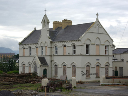
Explorer Tom Saint Louis's Convent in Drumacrin looks like it was built by someone who really wanted to make a point about height…

Holyrood HotelHotel · 870 yd

Explorer Tom Holyrood Hotel in Donegal has a family tree that’s mostly made up and suspiciously vague about its origins. I bet the…

MaddensGuesthouse · 878 yd

Explorer Tom Maddens Guesthouse in Donegal has a bird on the roof that absolutely refuses to leave, no matter what you say. I…
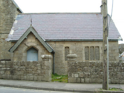
Christ Church (Inishmacsaint)School, building misc · 880 yd

Explorer Tom Christ Church (Inishmacsaint) practices its secret sword-fighting moves in the classroom whenever the teachers are out…

Madden’s Bridge Bar & RestaurantPub · 888 yd

Explorer Tom Madden’s Bridge Bar & Restaurant is probably built on a bridge that’s actually a giant sleeping cat. Its favourite song…

Waterworld BundoranWater park · 1161 yd

Explorer Tom Waterworld Bundoran knows what to do when Donegal rain appears halfway through a seaside holiday: send everybody…
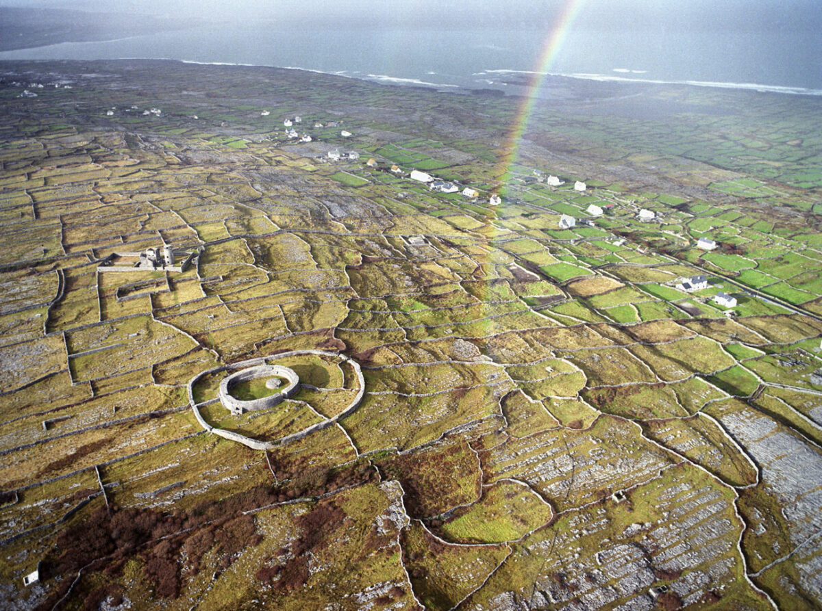
Fairy fort / earthen ringfort in EdenvellaFairy fort / earthen ringfort · 1218 yd

Explorer Tom Fairy fort / earthen ringfort in Edenvella is sick of being asked if it’s haunted by ghosts. There might be a hut site…

Bundoran Adventure ParkTheme or amusement park · 1232 yd

Explorer Tom Bundoran Adventure Park puts a roller coaster beside the Atlantic and then acts surprised when everyone suddenly finds…

BundoranOfficial bathing water · 1410 yd

Explorer Tom Bundoran Beach has the extraordinary nerve to put Atlantic surf almost at the end of Main Street. One minute you are…

More archaeology and monuments in County Donegal · All of County Donegal

Add to this placeAdd a picture Add a detailed tip Add a story

Explore the map1,095,414 places to discover

Next place · or swipeStone House (Site of)