
What is recorded here
From the National Monuments Service (Archaeological Survey of Ireland) record DU026-121002
Places near here
Photo credits
- National Inventory of Architectural Heritage
- Maker not stated on source page, ru.pinterest.com
- D18Steve, Wikimedia Commons · CC BY-SA 4.0
- Maker not stated on source page, commons.wikimedia.org
- Maker not stated on source page, uk.pinterest.com
- Maker not stated on source page, www.flickr.com
- JP, Geograph · CC BY-SA 2.0
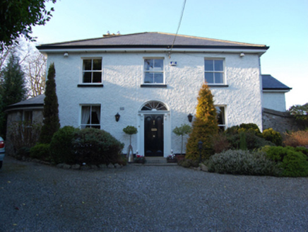 Castle LodgeHouse · 42 yd
Explorer Tom Castle Lodge on Kilgobbin Road, County Dublin, looks like a house that went to university and came back with a degree…
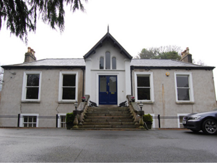 Kilgobbin CastleHouse · 136 yd
Explorer Tom Kilgobbin Castle thinks the local sheep have a better sense of style than it does, which is rude but probably true.…
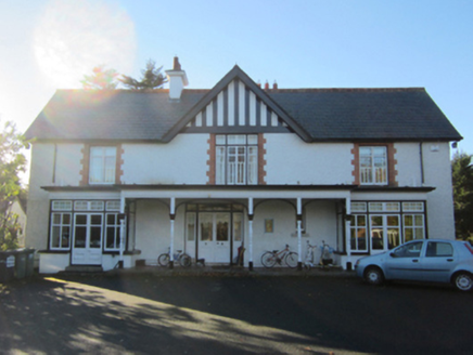 Greenfield HouseHouse · 253 yd
Explorer Tom Greenfield House is a detached house from 1901 that might be reusing parts of an earlier house from 1837. It has a…
 Holy well in KilgobbinHoly well · 380 yd
Explorer Tom Holy well in Kilgobbin was the 'Eye Well' near the old church, but a drain sunk nearby removed its spring entirely. Its…
 CrossCross, High cross · 509 yd
Explorer Tom Cross in Kilgobbin has an unlikely celebrity friend: a broken head from the same era, probably just chilling nearby.…
 Bullaun stone in KilgobbinBullaun stone · 511 yd
Explorer Tom Bullaun stone in Kilgobbin is actually the base of a 12th-century high cross. It's got a shallow basin cut into its…
 mausoleum517 yd
Explorer Tom Mausoleum in Kilgobbin is a granite vault from 1909 on a hillside. It’s got an embossed iron panel and lichen…
 Mapped graveyardGraveyard · 525 yd
Explorer Tom Mapped graveyard in County Dublin has had so many name changes it’s got more aliases than a spy in a bad thriller. I…
 Church (in Ruins)Church · 530 yd
Explorer Tom Church in Kilgobbin has strict visitor rules: no loud noises, no dogs, and absolutely no one wearing neon yellow…
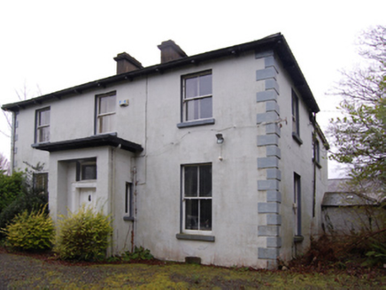 Clay FarmFarm house · 532 yd
Explorer Tom Clay Farm in Kilgobbin is a farmhouse from 1869 on a cruciform plan. It might have an older core from the thirties…
 Graveyard in KilgobbinGraveyard · 1249 yd
Explorer Tom Graveyard in Kilgobbin has been heavily landscaped for a golf course, which is a bold move. It's just a levelled area…
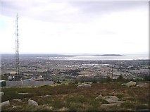 Three Rock MountainMountain / peak · 1.3 mi
Explorer Tom Three Rock Mountain is where Saint Patrick probably went to hide when he realised he’d run out of snakes and had no…
More archaeology and monuments in County Dublin · All of County Dublin

What do you know about this place?Tap to add a comment or ask a question