
What is recorded here
On top of a narrow ridge running NW-SE, in rough, wet pasture, cut by land drains and watercourses, on the floodplain of the Camoge River 265m to ENE. A townland boundary with Ragamus lies 35m to WSW. A group of three contiguous barrows (LI032-232001-/03-/04-) are on the spine of the ridge, to the immediate E. Not…
Read the whole record
From the National Monuments Service (Archaeological Survey of Ireland) record LI032-232002
Places near here
Photo credits
- Maker not stated on source page, commons.wikimedia.org
- Maker not stated on source page, www.pinterest.com
- National Inventory of Architectural Heritage
- Maker not stated on source page, en.wikipedia.org
- Maker not stated on source page, nigelborrington.com
- Knockane GAA Club website; individual photographer not stated, www.knockane.com
- No machine-readable author provided. Christian1965~commonswiki assumed (based on copyright claims)., Wikimedia Commons · Public domain
- Kmcnamee, Wikimedia Commons · CC BY-SA 4.0
 Earthwork in Ballinscoola (smallcounty By., Cahercorney Ed)Earthwork · 428 yd
Explorer Tom This circular ditch smells like old mud and regret, according to my sensitive nose. It’s thirty-four meters across and…
 Fairy fort / stone ringfort in Ballinscoola (smallcounty By., Cahercorney Ed)Fairy fort / stone ringfort · 777 yd
Explorer Tom Ballinscoola’s second fort is basically a pile of rocks pretending to be circular. The entrance is so faint you’d need…
 Fairy fort / earthen ringfort in Ballynamona (smallcounty By., Hospital Ed)Fairy fort / earthen ringfort · 1664 yd
Explorer Tom Fairy fort / earthen ringfort in Ballynamona is right on a stream edge, looking slightly eroded. A priest lost a bet…
 O'Carroll's BridgeBridge · 1.1 mi
Explorer Tom O'Carroll's Bridge in Ballynamona claims Queen Victoria once crossed it, which is impossible because she was busy being…
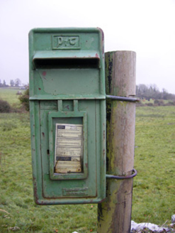 post box1.1 mi
Explorer Tom The post box in Ballynamona has a tiny drama with the nearest tree over who gets more sunlight. It was made in Scotland…
 Stone Circle, HachuredStone circle · 1.4 mi
Explorer Tom Stone Circle in Ballynamona has a fence running right through the middle, like the first owner had an escape plan. Most…
 Fairy fort / stone ringfort in KilballyowenFairy fort / stone ringfort · 1.5 mi
Explorer Tom Fairy fort / stone ringfort in Kilballyowen has the local sheep convinced it’s a giant rock pile. It’s collapsed but…
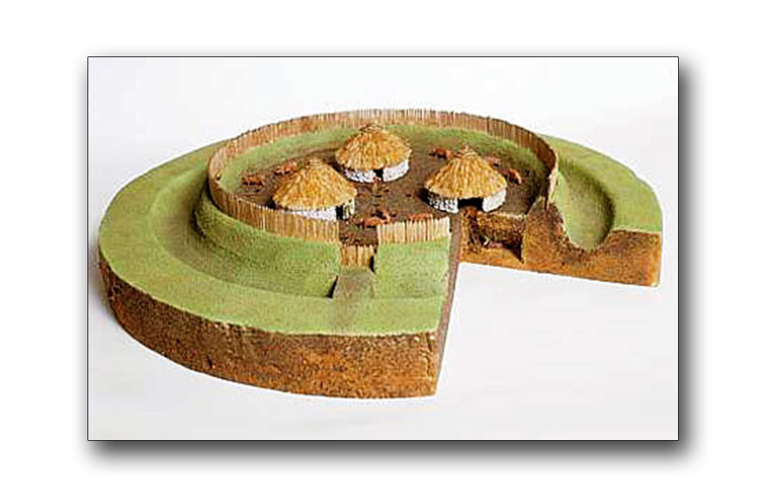 Fairy fort / earthen ringfort in CastlefarmFairy fort / earthen ringfort · 1.8 mi
Explorer Tom Fairy fort / earthen ringfort in Castlefarm has a curse that only affects people who don't wave hello. It’s a circular…
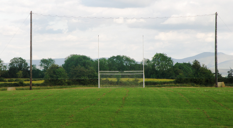 Knockainey GAA pitchGAA ground · 1.8 mi
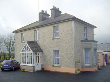 The VillaHouse · 2.2 mi
Explorer Tom The Villa in Castlefarm is sick of being asked if it’s actually a villa or just a fancy farm shed with pretensions.…
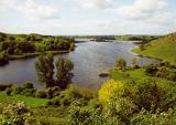 Áine and Gearóid Iarla: Lough GurLegend location · 2.3 mi
Explorer Tom Áine and Gearóid Iarla: Lough Gur has a goddess for the lake and a sleeping lord in the old stories. I thought I was…
 St. John's Park, Hospital/HerbertstownGAA ground · 2.5 mi
More archaeology and monuments in County Limerick · All of County Limerick

What do you know about this place?Tap to add a comment or ask a question