What is recorded here
In 1643 when a party of Royalists under Sir Charles Vavasour was scouring the coutryside east of the Comeragh and Monavullagh mountains, they encountered a trench that was defended by a party from Barnakille castle (WA023-011001-). This trench may have been in large part a natural river course, but was said to survive in part of Ballintlea and Barnakille townlands and to head NE towards Tay (Anon 1906, 73-4). A portion in Ballintlea cannot now be traced.
Anon. (1906) Battle of Comeragh Mountain 1643, WAJ 9, 73-9.
Date of upload: 26th April, 2011. Compiled by: Michael Moore.
The monument record does not grant public access. Check the route and ask the landowner before entering private land.
- What survives
- Recorded monument
Places near here
 farm housefarm house · 899 yd
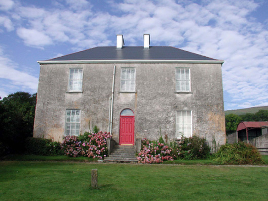 Mount Kennedyhouse · 1154 yd
 Embanked enclosureFairy fort / earthen ringfort · 1249 yd
 Bawn in BarnankileBawn · 1448 yd
 Enclosure in Curraheen (decies Without Drum By., Kilrossanty Par.)Enclosure · 1734 yd
 CrohaunMountain / peak · 1.4 mi
 Deelish MountainMountain / peak · 1.6 mi
 Standing StoneMemorial · 2.6 mi
 Bawn in Castlequarter (decies Without Drum By., Kilrossanty Par.)Bawn · 2.9 mi
 Horse-chestnutHorse-chestnut · 3.6 mi
 Magic Road (finish)Heritage attraction · 3.9 mi
 Magic Road (start)Heritage attraction · 3.9 mi